Acadia National Park
Park History
Sourced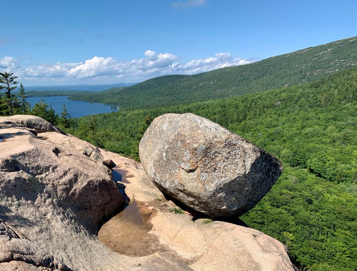
Acadia National Park protects about 50,000 acres of the mid-coast of Maine — portions of Mount Desert Island, part of Isle au Haut, the tip of the Schoodic Peninsula and all or part of 16 smaller islands — and the tallest mountains on the U.S. eastern seaboard, Cadillac Mountain at their apex. [2] Glacial ice shaped it: from Cadillac’s domed summit to the U-shaped valley of Bubble Pond, the ice scoured away older rock to reveal the granite beneath and left boulders strewn across the land. Spruce-fir forest dominated the park until 1947, when fire burned 10,000 acres. [1]
The 2011 park brochure says some artifacts from the island’s clam-shell heaps have been carbon-dated to 5,000 years; the 2016 foundation document says the park’s cultural resources span 5,000 years, and also that the landscape has drawn people for more than 10,000 years, beginning with the Wabanaki. Samuel Champlain named the island Isle des Monts Deserts in 1604; after 150 years of French–British war, English colonists settled permanently in 1761. In 1901 Harvard president Charles W. Eliot formed the Hancock County Trustees of Public Reservations, which acquired 5,000 acres of donated land; President Wilson proclaimed Sieur de Monts National Monument on July 8, 1916. Congress made it Lafayette National Park on February 26, 1919 — the first national park east of the Mississippi — and it became Acadia in 1929. [1] [2]
The foundation document calls Acadia the first national park created from private lands gifted to the public. It receives an average of 2.5 million visits a year, and the document names climate change a key issue: a significant number of the park’s roads, trails, buildings and utilities sit directly beside shorelines, threatened by sea-level rise and the frequency and intensity of storms. [2]
Indigenous peoples
The park’s 2007 ethnographic overview, by Harald Prins and Bunny McBride, names five Wabanaki nations — Abenaki, Maliseet, Mi’kmaq, Passamaquoddy and Penobscot; the park’s website names four, without the Abenaki. [3] [4] Wabanaki guiding Champlain to the island in 1604 called it Pemetic, “range of mountains,” and the sakom (chief) Asticou’s invitation led to the 1613 Saint Sauveur mission at Somes Sound, destroyed by an English privateer from Virginia. Within a few decades, the authors write, diseases, firewater and firearms left up to 90 percent of the Wabanaki dead — what they call an American Indian holocaust. From the mid-1800s island Wabanaki encampments sold crafts to summer visitors; in 1970 a short-lived Wabanaki educational center, T.R.I.B.E., was founded within the park. [3]
The park says that for most of the last century the federal government barred Wabanaki people from harvesting sweetgrass inside Acadia; since 2015 the Park Service has worked toward renewed gathering by federally recognized tribes. [4]
Climate & environment
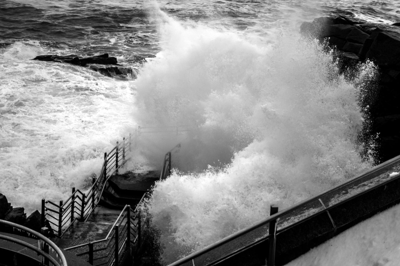
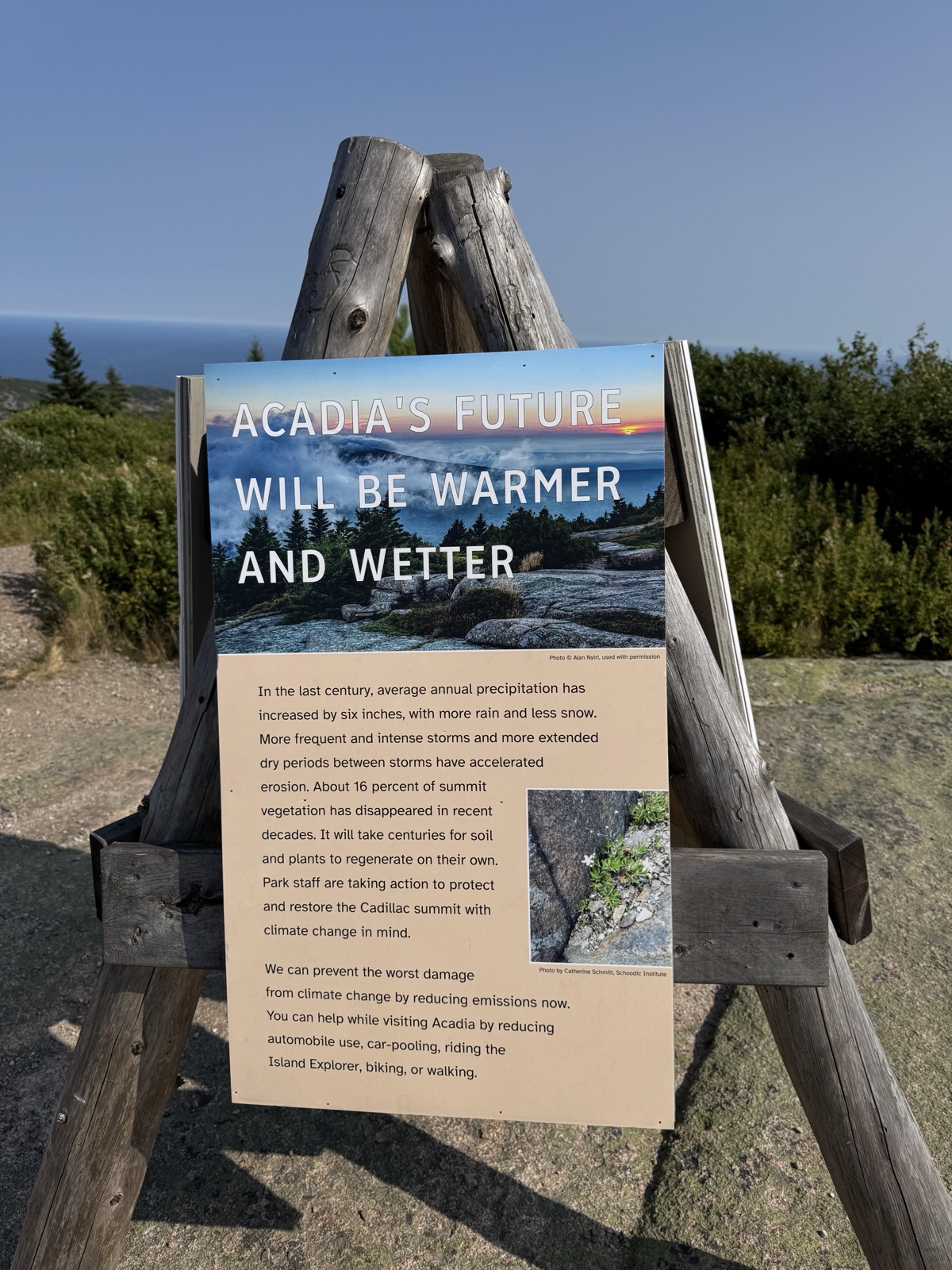
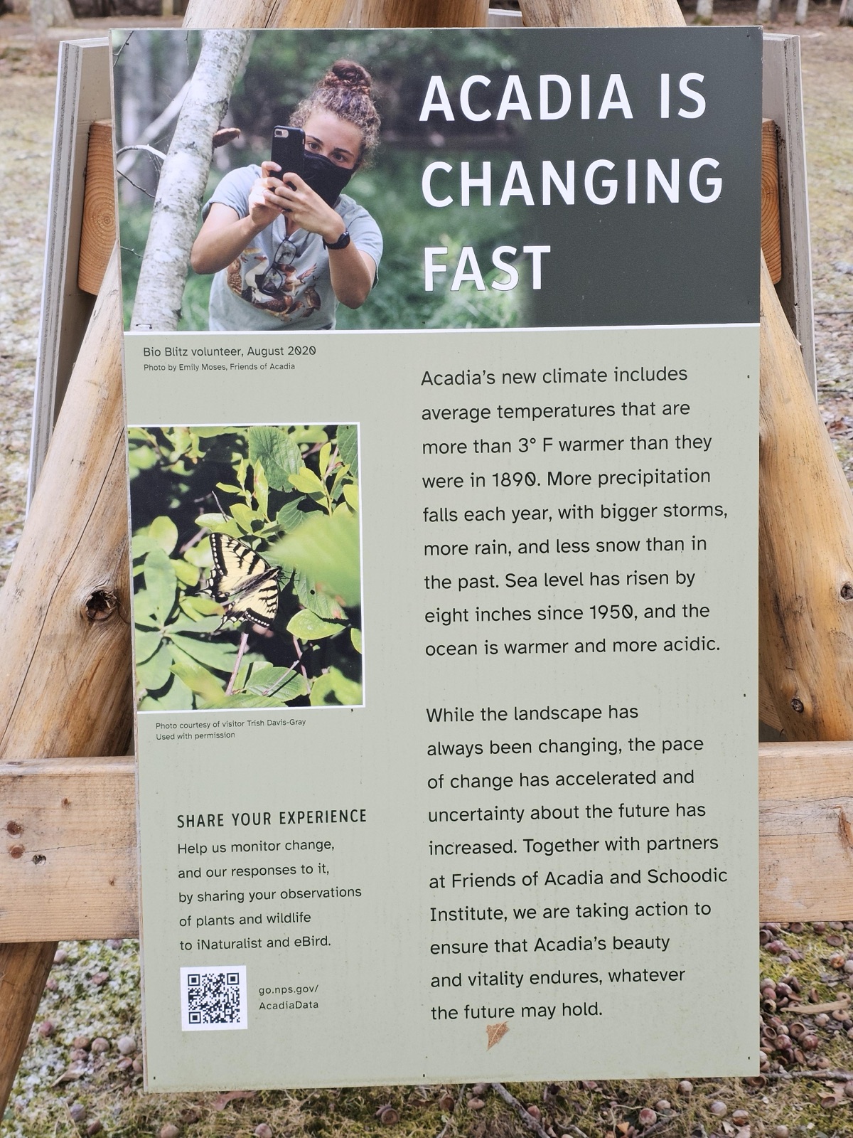
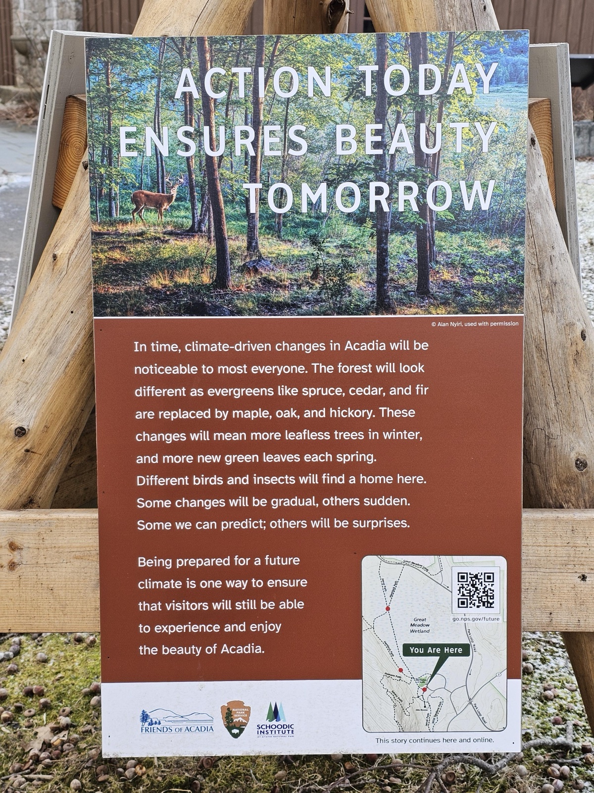
A 2014 Park Service resource brief compared recent decades with the record since 1901 and found six temperature measures at Acadia in the “extreme warm” range and three precipitation measures “extreme wet,” none extreme cold or dry: recent conditions, it concluded, are already moving beyond the historical range. [5] The park’s climate page puts numbers to it: annual average temperature up 3.4°F over the last century; the surrounding Gulf of Maine up about 3°F and among the fastest-warming parts of the global ocean; sea level up eight inches since 1950, with shorelines — Wabanaki heritage sites among them — eroding. A June 2021 storm dropped more than five inches of rain in under three hours and caused over $1.5 million in damage to carriage roads, trails, streams and paved roads. If sea-level rise continues unabated, the park says, Thunder Hole will very likely be covered. [6]
Labor & the New Deal
Acadia’s administrators were among the first to apply for a Civilian Conservation Corps company. In May 1933 enrollees arrived at McFarland Hill — today’s park headquarters — and camps followed south of Great Pond in June and at Ellsworth in July. From 1933 to 1942 the three camps took on nearly 450 projects in forestry, watershed development, beautification, trail construction and facility development. Apart from two out-of-state contingents, the companies were Maine men; McFarland was the only camp in Maine, besides district headquarters, to run for the whole program. The park’s CCC study (final draft, 2009), drawing partly on interviews with 26 former enrollees, names the Perpendicular Trail, the Beech Cliffs Ladder Trail and much of the Ocean Trail as surviving CCC work, and Seawall and Blackwoods campgrounds, Sieur de Monts Spring and Sand Beach among enduring New Deal sites — stressing that the Corps was only one of several federal agencies involved. [7]
Sources
- NPSHistory.com: Acadia National Park archive page — overview (from the 2011 NPS brochure) and establishment block
- Foundation Document, Acadia National Park, Maine (NPS, 2016)
- Prins & McBride, Asticou's Island Domain: Wabanaki Peoples at Mount Desert Island 1500–2000, Ethnographic Overview and Assessment, Vol. 1 (NPS, 2007), Executive Summary
- NPS, Acadia National Park: Wabanaki (nps.gov, Wayback Machine snapshot of January 18, 2025; page last updated December 3, 2024), 'Sweetgrass Gathering'
- Monahan & Fisichelli, Recent Climate Change Exposure of Acadia National Park (NPS Resource Brief, July 31, 2014)
- NPS, Acadia National Park: Climate Change (nps.gov)
- Moreira, Dean, Dudley & Champney, The Civilian Conservation Corps at Acadia National Park (final draft, May 12, 2009)
CONFIRMED REMOVED: Exhibit panels
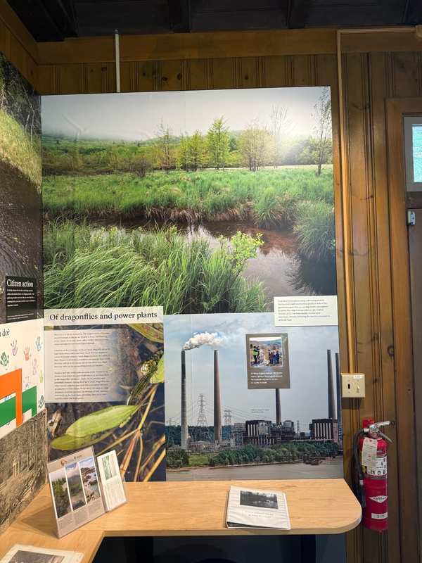
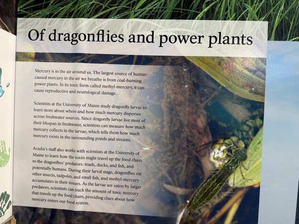
In 1916, George B. Dorr—known as the 'Father of Acadia'—donated thousands of acres from Mount Desert Island to create Sieur de Monts National Monument, the first national park east of the Mississippi River.
First national park established east of the Mississippi River. George Dorr spent most of his adult life overseeing the park's formation and expansion after visiting in 1868. Renamed Acadia National Park in 1929; became a major Northeast tourist destination.
The content at Acadia National Park has been confirmed removed. What was once publicly accessible historical interpretation — developed over years by professional historians and park staff — has been taken down with no public record of what was changed or why.
Why this matters: Acadia demonstrates how private conservation efforts can transform into major protected landscapes, representing the most-visited park in New England.
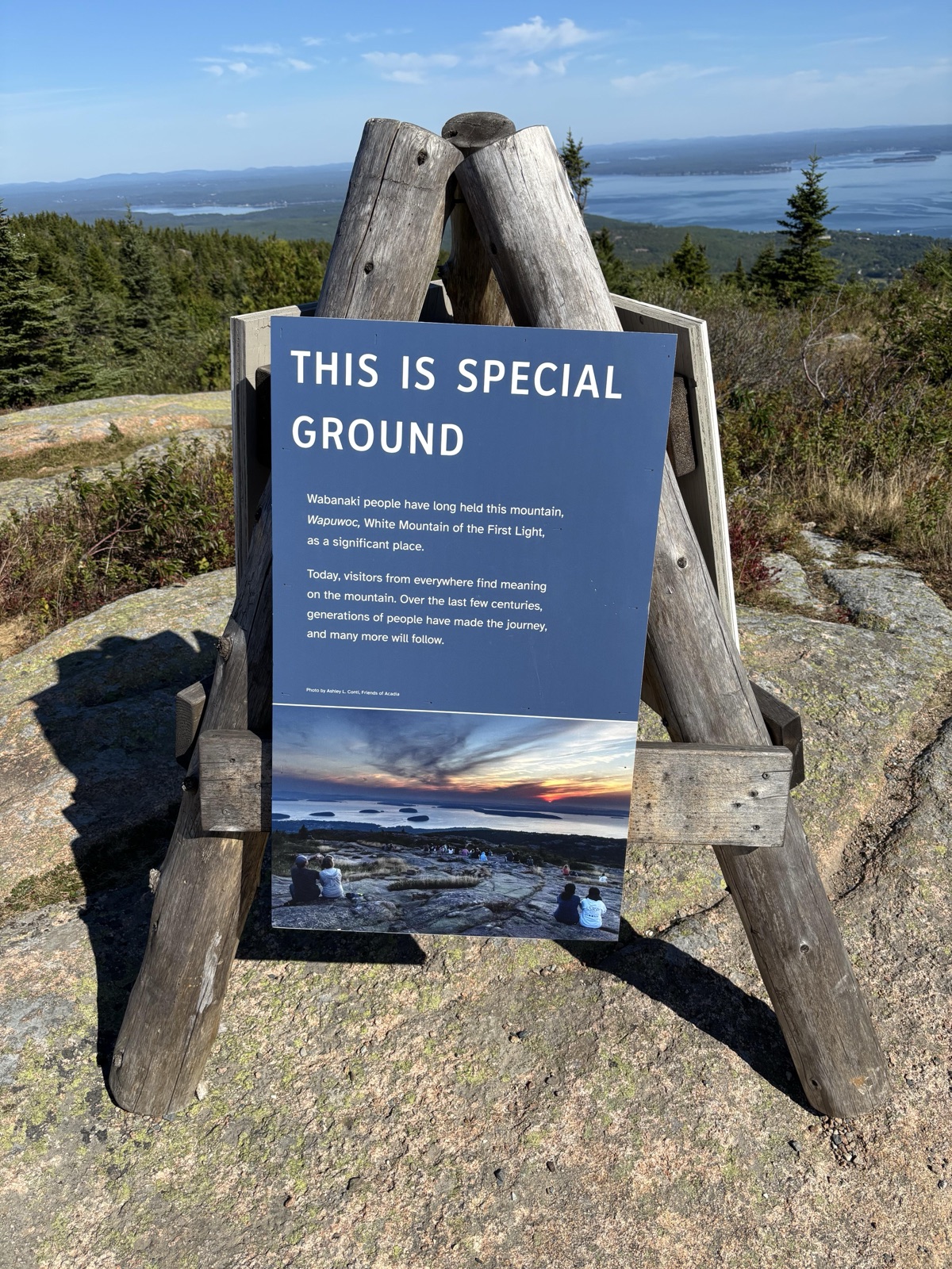
- “(Summits Tripod One) THIS IS SPECIAL GROUND” — removed
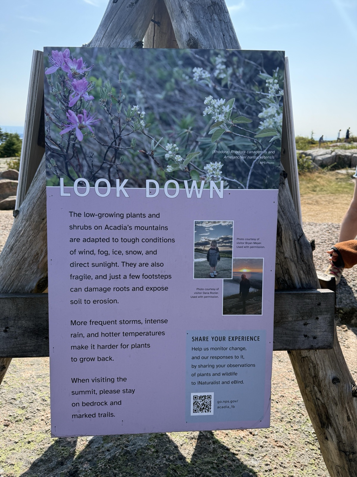
- “(Summits Tripod One) LOOK DOWN” — removed
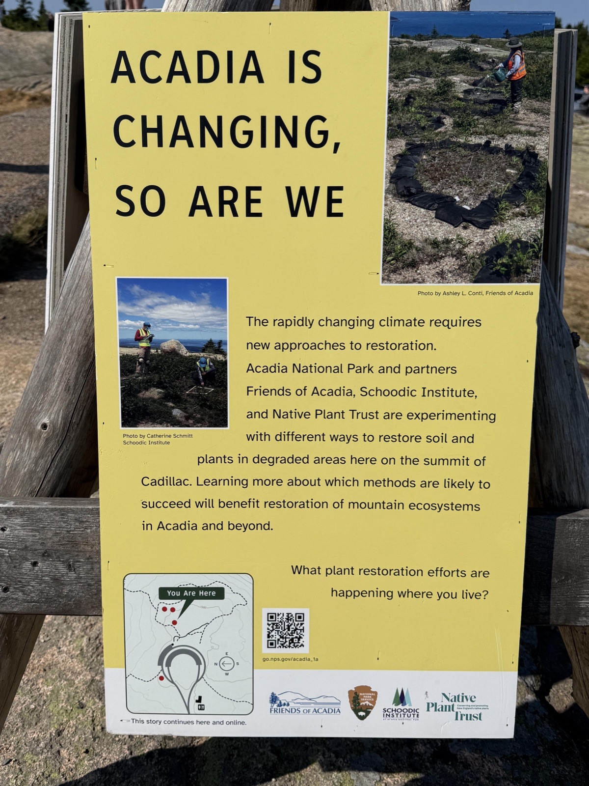
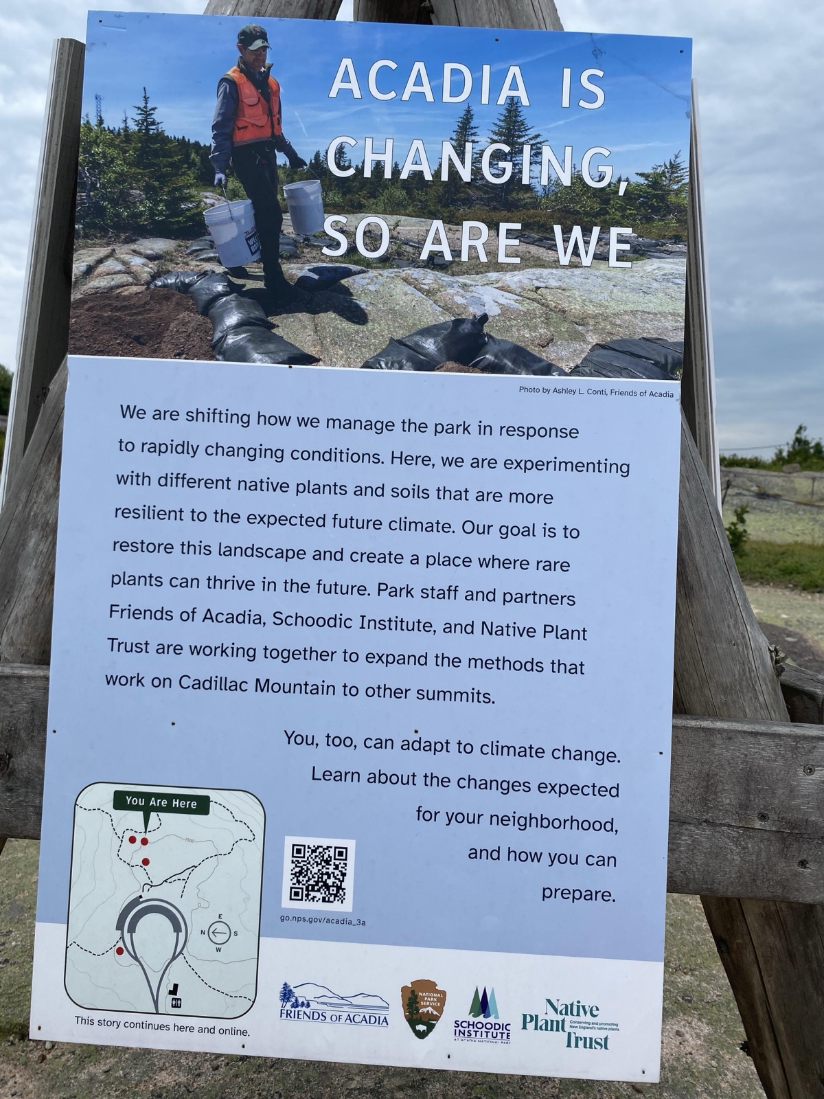
- “(Summits Tripod One) ACADIA IS CHANGING, SO ARE WE (yellow background)” — removed
- “(Summits Tripod Two) UNIQUE PLANTS GROW IN EXTREME CONDITIONS” — removed
- “(Summits Tripod Two) PROTECTING ACADIA'S UNIQUE PLANT LIFE” — removed
- “(Summits Tripod Two) ACADIA IS CHANGING, SO ARE WE (watering can background)” — removed
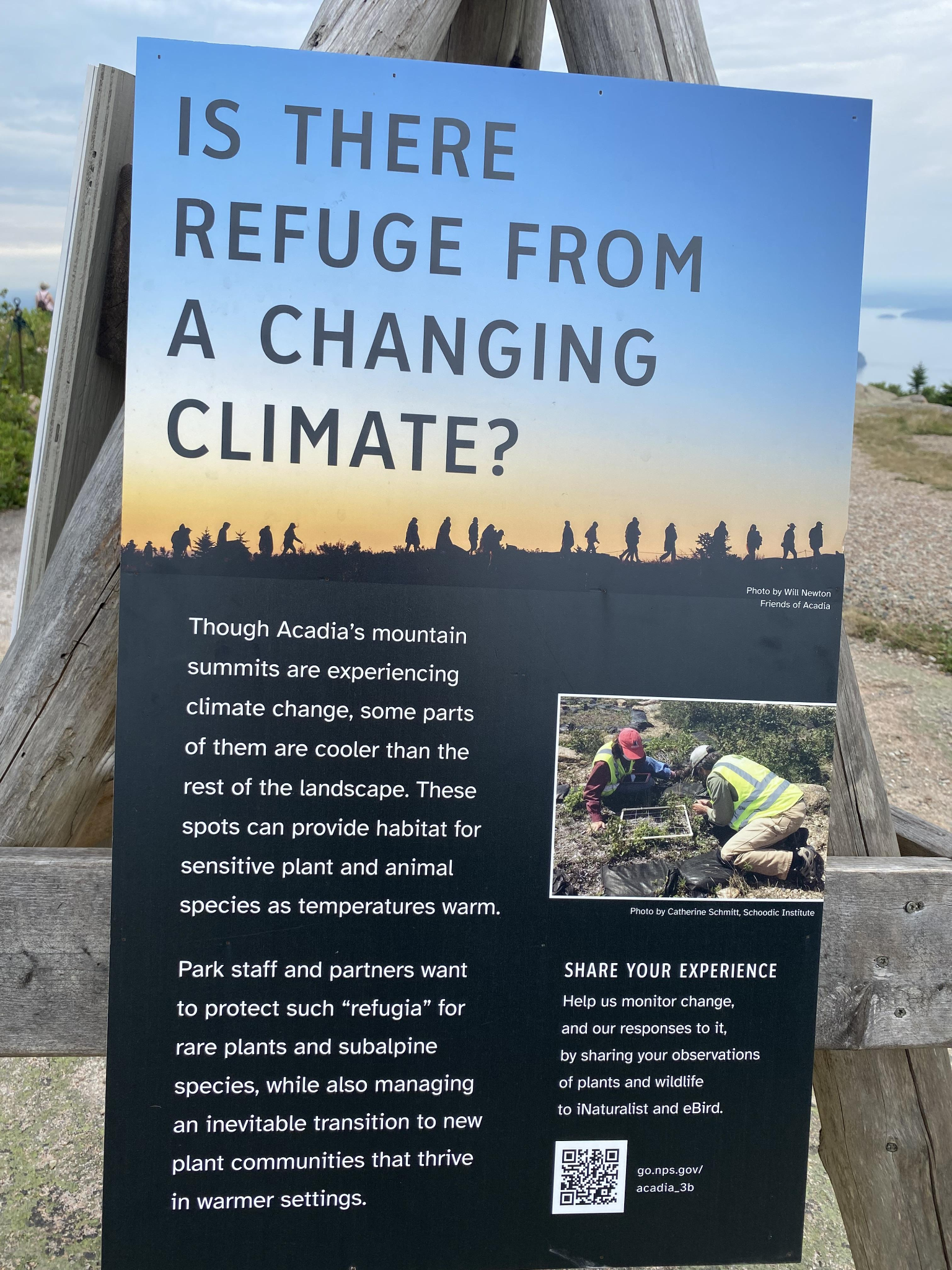
- “(Summits Tripod Three) IS THERE REFUGE FROM A CHANGING CLIMATE?” — removed
- “(Summits Tripod Three) ACADIA'S FUTURE WILL BE WARMER AND WETTER” — removed
- “(Summits Tripod Three) ACADIA IS CHANGING, SO ARE WE (water buckets background)” — removed per NPS court filing
- “(Wetlands Tripod One) ACADIA IS CHANGING FAST” — removed
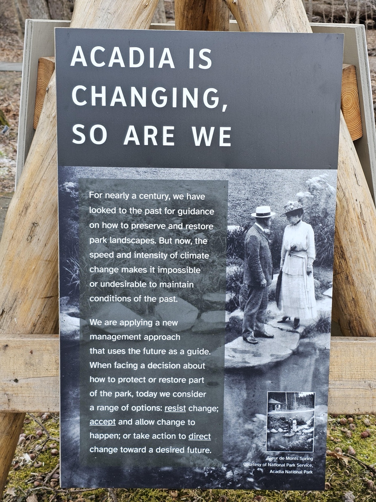
- “(Wetlands Tripod One) ACADIA IS CHANGING, SO ARE WE (b&w background)” — removed
- “(Wetlands Tripod One) ACTION TODAY ENSURES BEAUTY TOMORROW” — removed per NPS court filing
- “(Wetlands Tripod Two) ACADIA IS CHANGING, SO ARE WE (sage background w/ 3 orange vest images)” — removed
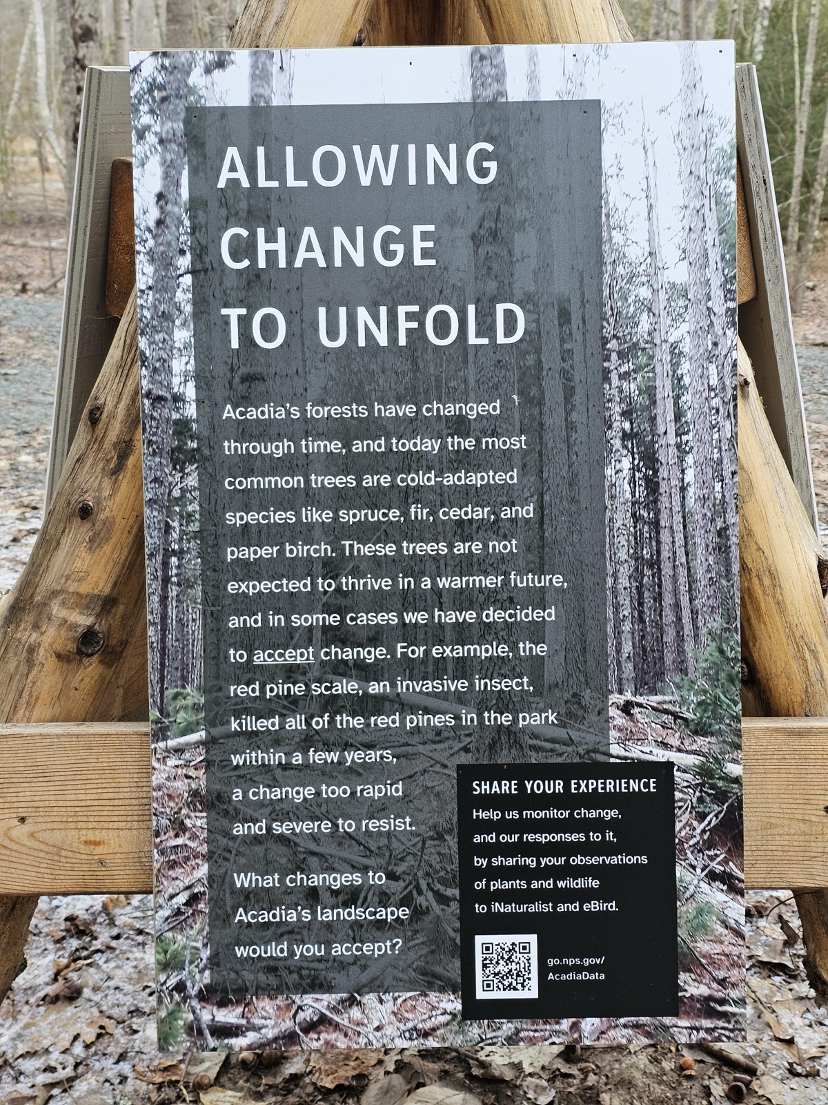
- “(Wetlands Tripod Two) ALLOWING CHANGE TO UNFOLD” — removed
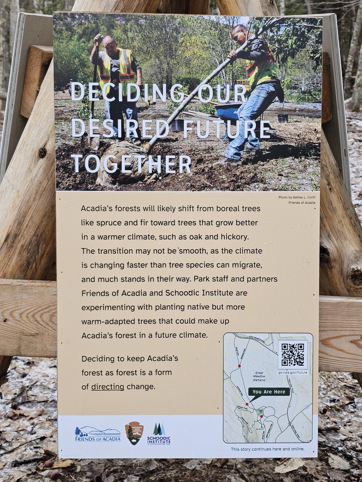
- “(Wetlands Tripod Two) DECIDING OUR DESIRED FUTURE TOGETHER” — removed per NPS court filing
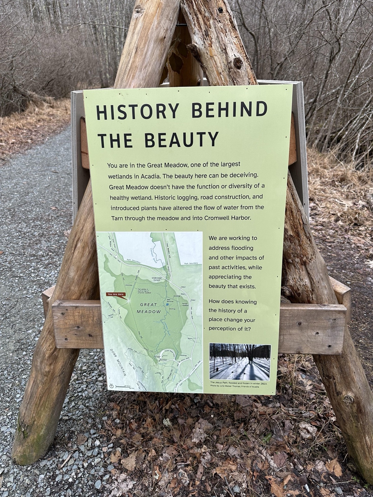
- “(Wetlands Tripod Three) HISTORY BEHIND THE BEAUTY” — removed
- “(Wetlands Tripod Three) ACADIA IS CHANGING, SO ARE WE (forest green background w/ image of creek)” — removed
- “(Wetlands Tripod Three) MONITORING A WETLAND'S RETURN” — removed
- “Exhibits in the Nature Center” — removed per NPS court filing
- “Exhibit at Schoodic Institute” — removed per NPS court filing
- Tripods at Cadillac Mountain (×9); reason: Unrelated to beauty, abundance, and grandeur of the natural landscape; now: In the park
- Tripods at Great Meadows (×9); reason: Unrelated to beauty, abundance, and grandeur of the natural landscape; now: In the park
- Exhibits in the Nature Center; reason: Unrelated to beauty, abundance, and grandeur of the natural landscape; now: In the park
- Exhibit at Schoodic Institute; reason: Unrelated to beauty, abundance, and grandeur of the natural landscape; now: In the park
Exhbits in the Nature Center in Acadia NP.

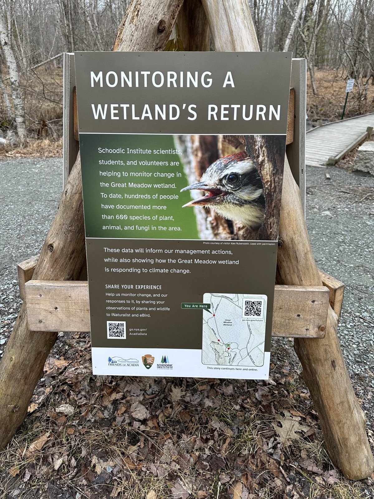
Photos courtesy Save Our Signs (public domain)
Photographs attached to this park's records in the leaked NPS review database.
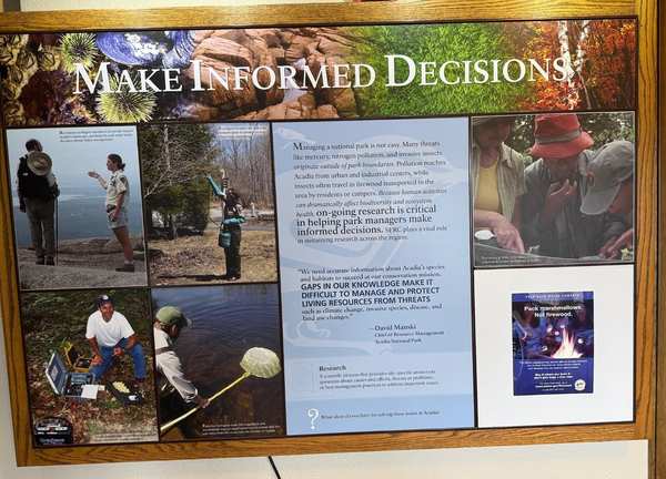
News Sources
VerifiedExplore the Full Map
See all 446 entries across every national park and wildlife refuge.
Open Interactive Map →