Cumberland Gap National Historical Park
Park History
Sourced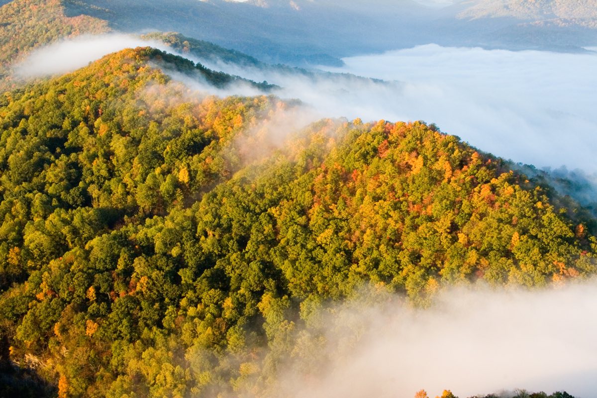
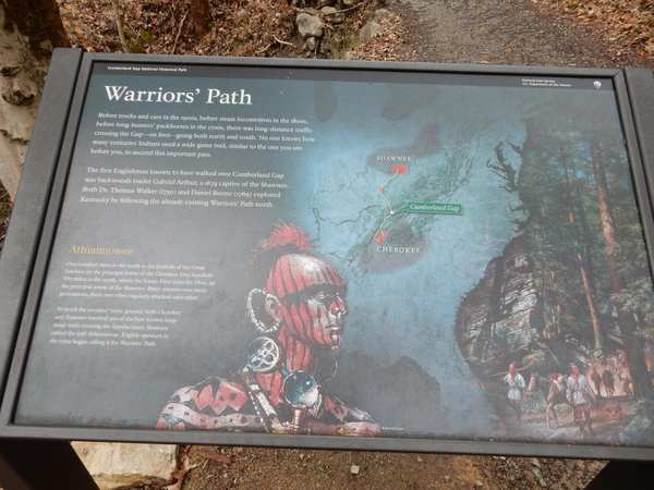
From Alabama to Canada the Appalachian Mountains rise in parallel ridges between the seaboard and the continent’s interior, and for anyone traveling by horse or on foot the crossing points were few. Cumberland Gap is one of them: a notch in the Cumberland Mountains (carved by wind and water, in the 2016 foundation document’s words; caused by a fault block cutting across the range, according to the 2024 historic resource study) that migrating bison used first and American Indians followed. Their Warrior’s Path ran through it. [1] [2] [3]
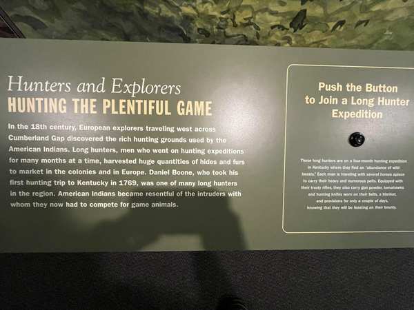
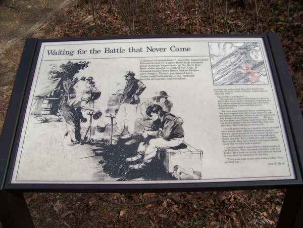
Dr. Thomas Walker, staking out an 800,000-acre grant beyond the Blue Ridge, explored the gap in 1750, and in 1775 the longhunter Daniel Boone was commissioned to blaze a road through it. Boone’s trace became the Wilderness Road, the primary way west until 1810. The 2008 park brochure counts 200,000 to 300,000 people crossing (dating the stream from 1780 in its text and 1776 in its timeline); the 2016 foundation document says nearly 300,000 between 1775 and 1810, and that some 40 million Americans can trace their history to the crossing. In the Civil War both sides thought the gap strategic; it changed hands several times but saw no major action. [1] [3]
Congress authorized the park on June 11, 1940, and it was established in 1955. U.S. 25E then ran through the gap; the highway was moved into the Cumberland Gap Tunnel, opened in 1996, and the gap was restored toward its appearance around 1810. The park now covers 24,547 acres in three states, more than 14,000 of them recommended for wilderness. [1] [3]
Indigenous peoples
The park’s 2024 historic resource study puts human use of the region at more than 12,000 years, though only ten of nearly 90 sites known in the park by 2005 had prehistoric components. Cherokee, Chickasaw, Choctaw and Muscogee (Creek) peoples to the south and Shawnee, Wyandotte and Delaware to the north reached hunting grounds on a trail first worn by elk and bison, which the Shawnee called Athiamiowee, the Path of the Armed Ones (the brochure spells it Athawominee). In 1750 Walker saw crosses and figures carved by Indigenous people on laurel trees near the gap. [2] [1]
In the 1774 Treaty of Camp Charlotte the Shawnee gave up their hunting grounds south of the Ohio, and in March 1775 a Cherokee council at Sycamore Shoals, despite opposition, most notably from Dragging Canoe, approved the sale of some 20 million acres. The study describes the wars of 1776–1794 as fighting against colonists who kept violating treaties protecting tribal lands. [2]
Women
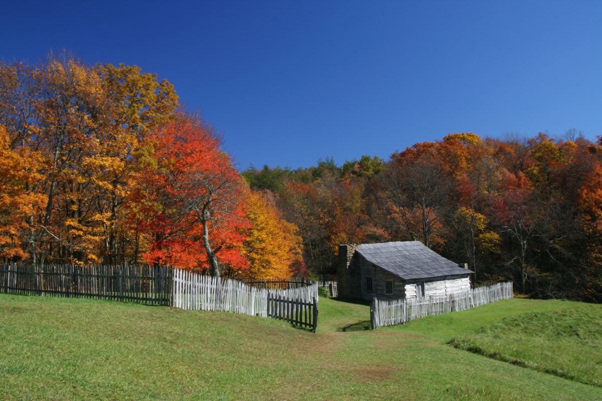
The foundation document says modern travelers can hardly imagine what the men, women and children crossing the gap endured: hunger, cold, injury, disease, loneliness and uprooted families. A traveler’s 1803 journal quoted in the park brochure describes four or five hundred people on the road, many nearly naked and barefoot, with a single horse for two or three children. [3] [1]
A century later, on Brush Mountain inside today’s park, the families of the Hensley Settlement lived what the 2024 historic resource study calls a primitive existence reminiscent of the region’s earliest settlers. In December 1903 Eunice “Nicey” Hensley and her husband Sherman became the first of the family to move there; at its peak in the 1930s about 120 people lived in the settlement. According to the 2024 historic resource study, women did most of its domestic labor — preserving food, making quilts and serving as midwives. Sherman Hensley was the last to leave, in 1951. [2]
Black history
The 2024 historic resource study traces Black history in the towns beside the park, Cumberland Gap and Middlesboro. After the Civil War, freed people from the Cumberland Gap area settled at Tiprell, the former home of Confederate Maj. G. B. Cockrell, until his return forced them off the land. Many went back to Cumberland Gap and joined a Black community growing up around the old grist mill; the 1870 census counted 45 Black residents in the town. In industrializing Middlesboro, nearby, there were 447 Black residents at its 1890 charter, and in 1891 Berea College graduate George W. Bell opened the first school there for Black children, later Lincoln High School, where he taught with his wife, Elgetha. Later, the study finds, the region’s Black community declined as industrial jobs moved away and coal mining fell sharply in the 1920s, part of a wider exodus from the Appalachian coalfields to industrial centers such as Pittsburgh, Cleveland and Akron. [2] [1]
Slavery
The people who crossed the gap, the foundation document notes, ranged from merchants and doctors to servants and enslaved people. Near the gap itself slavery took a different shape than in the lower South, according to the 2024 historic resource study: its small, self-sufficient farms were not heavily dependent on enslaved labor, most small farmers in the region enslaved fewer than five people, and the enslaved typically worked alongside their enslavers as farmers, craftspeople, cattle herders and merchants. A few large landowners — Robert Crockett, Daniel Huff and James Patterson — each held 20 to 30 enslaved people before the Civil War, and the 1850 census listed 33 slaveholders in or near the gap. When John G. Newlee took over the iron furnace at Cumberland Gap in 1841, he brought several enslaved Black workers who were employed in running it. [3] [2]
Sources
- NPSHistory.com: Cumberland Gap NHP archive page — overview (from the 2008 NPS brochure), timeline and establishment block
- North Wind Resource Consulting, Historic Resource Study, Volume One: Cumberland Gap National Historical Park (NPS, September 2024)
- Foundation Document, Cumberland Gap National Historical Park, Kentucky, Tennessee and Virginia (NPS, 2016)
Removed Per Nps Court Filing: Interpretive materials


Cumberland Gap NHP in TN is one of hundreds of National Park Service sites where interpretive content has been flagged under Secretary's Order 3431. This directive requires parks to review materials that could be considered negative about past or living Americans — a standard that threatens the factual historical record these sites were created to preserve.
Why this matters: Cumberland Gap NHP is one of 466+ National Park Service sites where historically accurate interpretive content has been flagged under Secretary's Order 3431. Over 300 million people visit national parks each year. For many — especially schoolchildren — these visits are their first and deepest encounter with American history.
- Publication
- Publication; reason: Unrelated to beauty, abundance, and grandeur of the natural landscape; disparages Americans past or living; now: Discarded
We have 4 wayside exhibits submitted for review.
FLAGGED FOR REVIEW: Interpretive materials
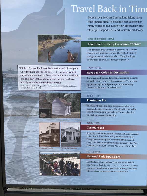
The history preserved at Cumberland Island NS / Cumberland Gap NHP reflects a pivotal chapter in the expansion of the United States — a chapter that involved conflict, displacement, and transformation. The interpretive materials now under review present this documented history as it happened, drawing on primary sources and scholarly consensus.
From the flagged wayside text: “European Colonial Occupation: [NPS review record] European explorers and missionaries arrived in search of land, resources, and religious converts. They ended up devestating the Indigeonous population through disease, warefare, and forced removal.”
Why this matters: The history presented at Cumberland Island NS / Cumberland Gap NHP draws on primary sources, treaties, and documented events. These are not contested opinions but the factual record of how the United States expanded its borders. Visitors — especially students — deserve access to the complete story, including its difficult chapters.
1 wayside submitted for review European Colonial Occupation: European explorers and missionaries arrived in search of land, resources, and religious converts. They ended up devestating the Indigeonous population through disease, warefare, and forced removal.
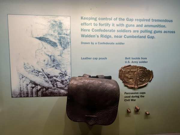
Photographs attached to this park's records in the leaked NPS review database.








Explore the Full Map
See all 446 entries across every national park and wildlife refuge.
Open Interactive Map →