Fort Donelson National Battlefield
Park History
Sourced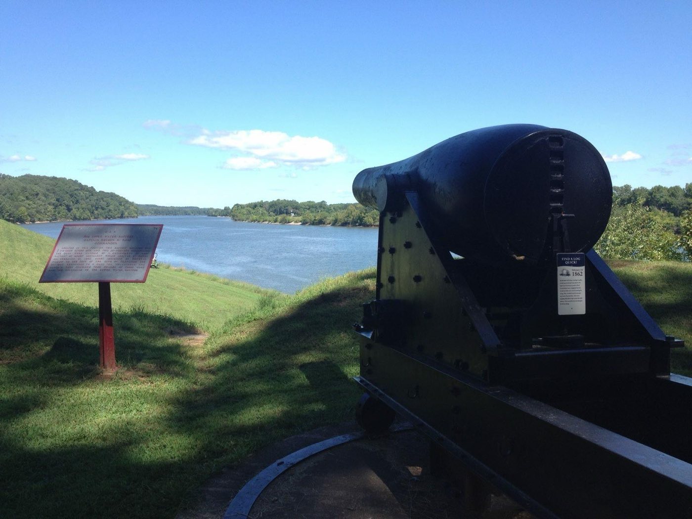
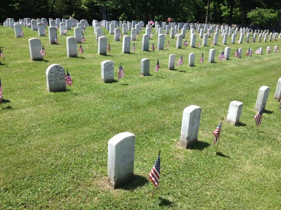
In January 1862 a Union reconnaissance concluded that the weakest points in the Confederacy’s western defense line were two earthen forts guarding the Tennessee and Cumberland rivers. On February 6 Flag Officer Andrew Foote’s gunboats pounded Fort Henry into submission; almost 2,500 of its garrison escaped a dozen miles to Fort Donelson, on the Cumberland near Dover, Tennessee. There, on February 14, the Confederate river batteries drove off Foote’s ironclads in a 90-minute duel. A Confederate breakout the next day briefly opened an escape route before confused commanders ordered their men back to the trenches, and on February 16 Brigadier General Ulysses S. Grant answered a request for terms: no terms except an unconditional and immediate surrender. An estimated 13,000 Confederate soldiers were shipped north to prison camps. [1]
It was the North’s first major victory of the war. The South gave up southern Kentucky and much of Middle and West Tennessee, and the rivers became Union supply lines into the Confederate heartland. The park’s foundation document adds that the campaign saw the war’s first use of inland ironclad gunboats and its first joint Army–Navy operation, and that the Union presence drew enslaved people to seek freedom, leading to Free State, which it calls one of the first freedmen’s communities in Tennessee, and perhaps the nation. Fort Donelson became a national military park on March 26, 1928, and a national battlefield on August 16, 1985. [1] [2]
Indigenous peoples
The park’s 2013 ethnographic overview places the Cumberland valley in a region that archeologists have posited was largely abandoned around 1450–1550; by the 1600s it was a borderland used by at least three tribal nations for hunting and seasonal camps. The Shawnee were among its first occupants, so many that the Cumberland was known as the Rivière des Chaouanons, the Shawnee River; Stewart County was likely a seasonal hunting ground. Around 1714–1715 the Cherokee and Chickasaw drove a large contingent of Shawnee out of the valley. The 1785 Treaty of Hopewell compelled the Cherokee to cede land south of the Cumberland, and in 1805 the Chickasaw reaffirmed a boundary on the ridge between the Cumberland and Tennessee rivers while the Cherokee ceded their lands north of it. By the end of the 1830s the Southeastern nations had been forced to cede their lands east of the Mississippi and remove to Indian Territory, where their governments remain. [3]
Women
Enslaved women worked at the iron furnaces, cooking, cleaning, laundering and farming for the works, and the 2020 historic resource study notes that enslaved and free white women also did physically demanding work alongside men at the furnaces; the 417 people held at the Cumberland Iron Works in 1859 included 58 women. After the battle, the brochure notes, women like Mary Ann Bickerdyke nursed sick and wounded soldiers though they were not officially recognized as nurses. [4] [1]
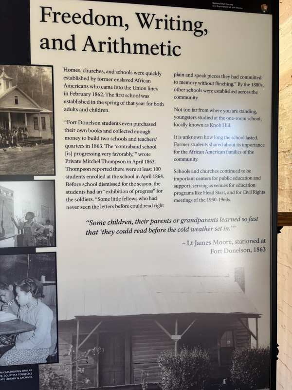
In the contraband camp, women commonly worked as cooks and laundresses, and in March 1864 two women teachers from Wayne County, Indiana, arrived with Ira B. Hutchens to open its school, teaching children and adults to read. [1] [4]
Black history
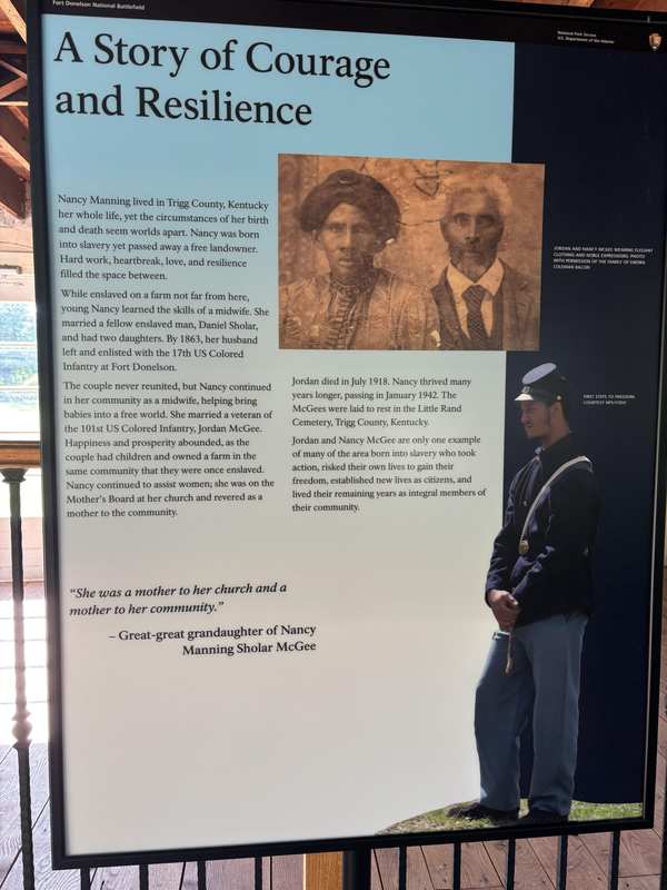
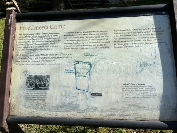
After the surrender, enslaved people from nearby plantations came into the Union lines. Ten days after it, Grant issued General Orders No. 14, which barred slaveholders from his lines; he would not return people to their enslavers, and he sought government work for those who had built the Confederate fort. Freedom seekers kept coming. Their settlement southwest of the Union fort became known as Free State, probably one and the same as the army’s contraband camp, whose men built the new Union Fort Donelson in 1863 and enlisted as United States Colored Troops; teachers from Indiana opened a school there in March 1864 that by May had 100 pupils. The brochure says an estimated 300 enslaved people wintered at Fort Donelson in 1864; the study quotes an 1867 description of Free State as numbering about 300. Free State lasted for decades and became an African American neighborhood of Dover. [1] [4]
Slavery
Before the war, the iron furnace companies were Stewart County’s largest slaveholders. The park’s 2020 historic resource study reports that in December 1852 the iron makers on the Cumberland employed 1,395 white workers and 1,910 enslaved laborers, and in 1859 the owners of the Cumberland Iron Works, John and Jane Bell, held 417. Enslaved people made up nearly a quarter of Stewart County’s residents. When rumors of a revolt started at one or more of the furnaces around Christmas 1856 — reports the study calls full of inaccuracies — it was reported that eighty enslaved people were arrested; enslaved furnace workers were beaten to force confessions, and approximately six or seven, possibly more, were killed in Stewart County — though, the study notes, there was no proof of any rebellion. [4]
The fort itself was built by Confederate soldiers and enslaved laborers, who also built more than 400 log huts as the garrison’s winter quarters. [1]
Labor & the New Deal
Depression relief programs worked on the park itself. From December 1933 to April 1934, 398 Civil Works Administration laborers, among them African Americans and three women, worked on seven projects in the park, graveling roads, planting and controlling erosion. A crew of four Civilian Conservation Corps enrollees helped historian W. W. Luckett excavate a caved-in magazine at the water batteries; the restored magazine, completed in 1940, is a CCC-built interpretive reconstruction, and the 2020 historic resource study recommends that the park’s National Register listing stop describing it as an original feature. [4]
Sources
- NPSHistory.com: Fort Donelson NB archive page — overview (from the NPS brochure) and establishment block
- Foundation Document, Fort Donelson National Battlefield, Kentucky-Tennessee (NPS, 2020)
- Lee, Greer & Lee, Fort Donelson National Battlefield: Ethnographic Overview and Assessment, Final Report (Earth Search for NPS, September 2013)
- Brent, Spurlock, Heavrin & Poole, Historic Resource Study, Fort Donelson National Battlefield (Cultural Resource Analysts for NPS, March 2020)
FLAGGED FOR REVIEW: Interpretive materials
Fort Donelson NB in TN preserves a piece of American history that the public has trusted the National Park Service to protect and interpret. The interpretive materials at this site have been developed over years by historians, subject-matter experts, and park staff — and are now being reviewed under Secretary's Order 3431.
Why this matters: Fort Donelson NB is part of a network of over 400 national parks that serve as America's classrooms. The interpretive materials here were developed by subject-matter experts to help visitors understand the full story of this place. When historically accurate content is removed, the public loses access to its own history.
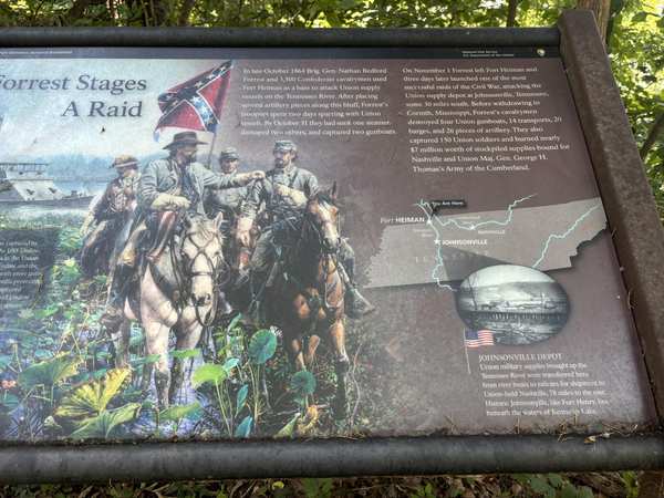
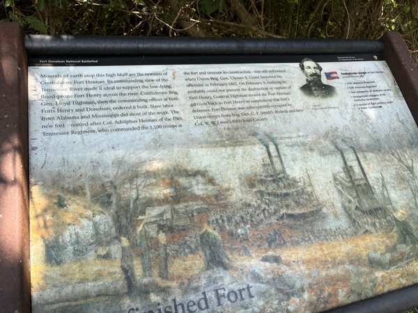
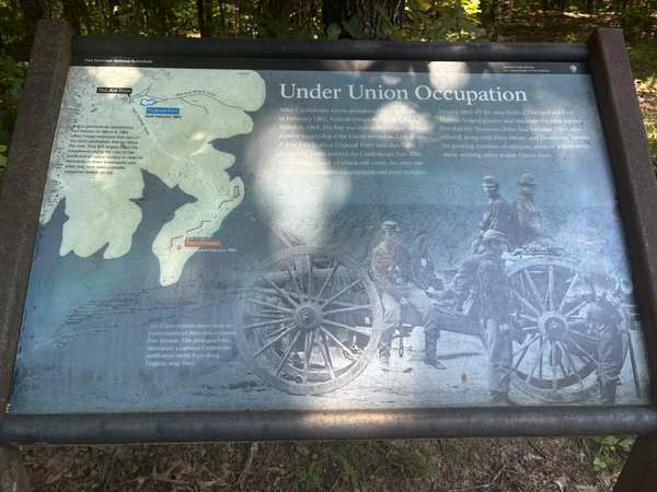
Three panels telling the story of the Free State community that grew around the union Fort Donelson (current location of Fort Donelson National Cemetery).
Photographs attached to this park's records in the leaked NPS review database.
Explore the Full Map
See all 446 entries across every national park and wildlife refuge.
Open Interactive Map →