Mammoth Cave National Park
Park History
Sourced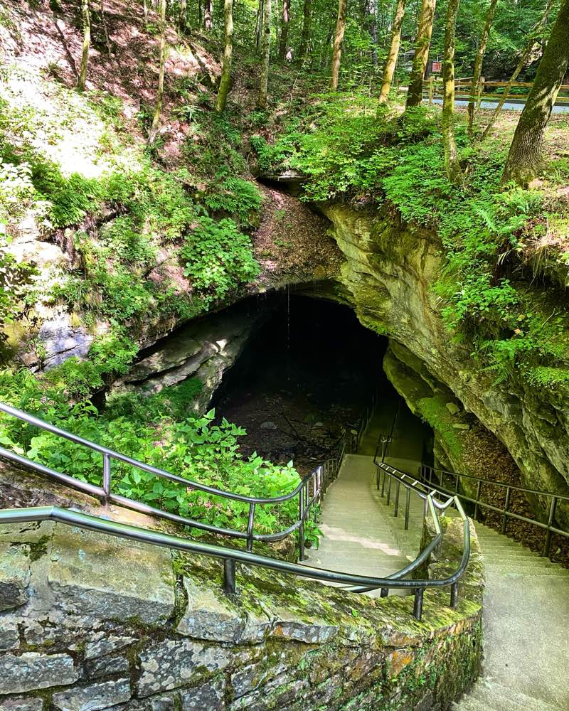
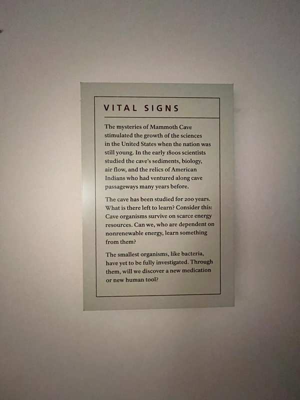
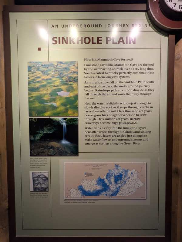
Beneath the sandstone and shale ridges of Kentucky’s Edmonson, Hart and Barren counties lies the longest known cave system in the world: by 2014, the foundation document says, 400 miles had been surveyed (the park brochure gives over 365 miles), with underground rivers still carving new passages up to 450 feet below the surface. The cave holds one of the world’s most diverse cave ecosystems, and the Green River, running 27 miles through the park, is among the most biologically diverse rivers in North America. People have been drawn to this country for nearly 10,000 years. [1] [2]
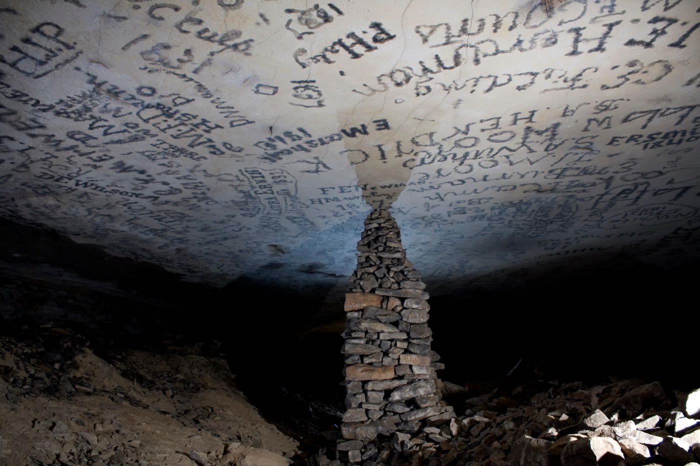
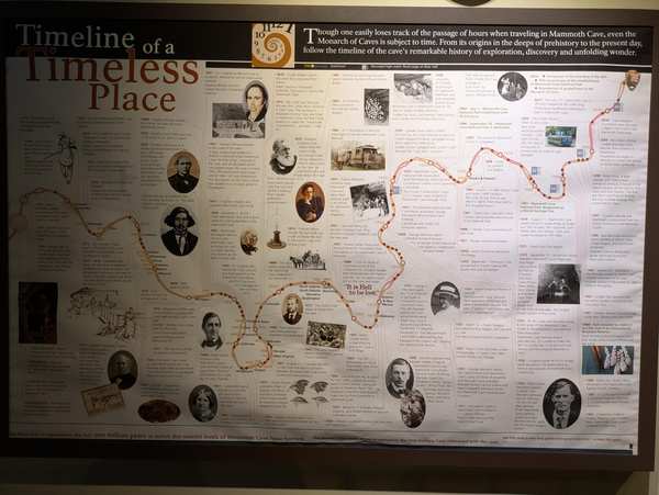
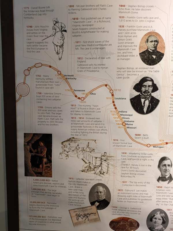
Mammoth Cave was a tourist attraction by 1816, older than any national park. Its saltpetre was mined for gunpowder before and during the War of 1812, and the park’s 2023 historic resource study says enslaved people played a major role in making the cave a successful business. The park was authorized in 1926, a year after caver Floyd Collins’s death in Sand Cave drew national attention, and it was fully established in 1941; it now covers 53,000 surface acres and became a World Heritage Site in 1981. The brochure warns that park status does not guarantee protection: the cave’s groundwater begins far beyond the boundary and carries agricultural runoff, human waste, highway spills and drilling waste into the cave streams. [2] [3]
Indigenous peoples
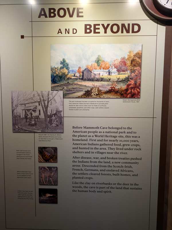
Paleo-Indians hunted in the Green River valley more than 10,000 years ago. Between about 5,000 and 1,500 years ago, the park’s 2021 ethnographic overview reports, people ventured more than a mile into Mammoth and Salts caves to live, explore, mine minerals, hold ceremonies and bury their dead; the caves preserved their textiles, torch material and plant remains, some of the best evidence of early plant domestication in Kentucky, from sunflower and goosefoot to squash. The park brochure gives a narrower span, 4,000 to 2,000 years ago, and notes cane reed torches preserved in drier passageways. Seven federally recognized tribes claim the area as ancestral land: the Eastern Band of Cherokee Indians, Cherokee Nation, United Keetoowah Band of Cherokee Indians, Absentee Shawnee Tribe, Eastern Shawnee Tribe, Shawnee Tribe and Chickasaw Nation. The overview notes the park has never systematically studied their oral histories of the place. [2] [4]
Black history
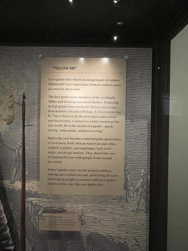
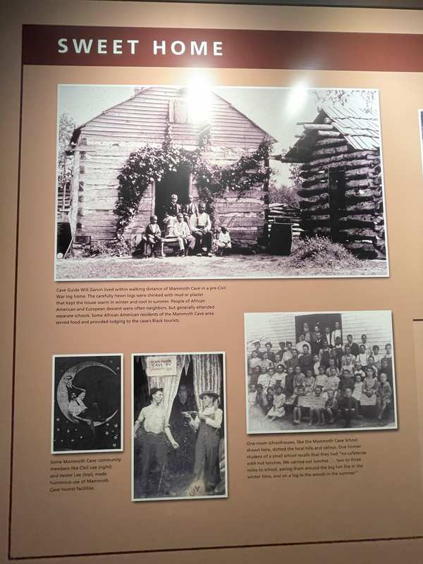
After emancipation Black guides kept working the cave, and the Bransfords and their descendants guided there for over 100 years, while other Black workers were limited to jobs such as porter, cook and laundress. Tours were almost completely segregated. In 1921 Matt and Zemmie Bransford opened a 14-room summer resort on Flint Ridge for Black travelers; the Kentucky National Park Commission bought it for $3,000 in December 1934 to make way for the park. [2] [3]
A Black CCC company, camp NP-1, spent 12,000 man-days on cave improvements, completing 24 miles of trails. Yet by the end of 1939 every Black guide had been forced to retire, and when the Park Service took over the tours none were rehired, including Clifton, Arthur, Eddie, Elzie and George Bransford, leaving an all-white guide force for the first time since 1838. [3]
Slavery
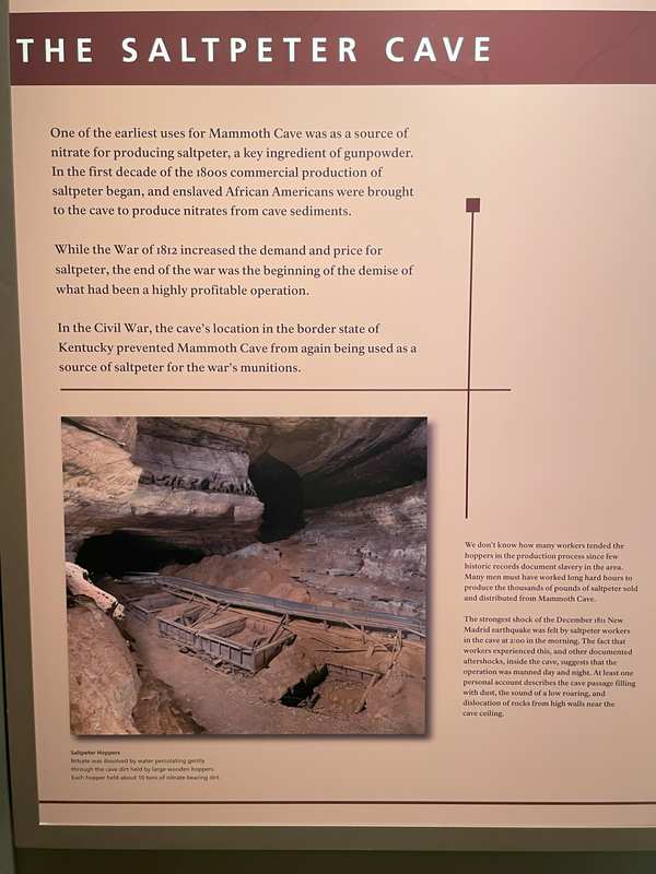
From the early 1790s through the War of 1812, the park’s 2023 historic resource study reports, an estimated 70 enslaved workers, many leased from surrounding counties, dug and hauled nitrate-bearing dirt by torchlight and stood in leaching vats stirring it; the cave produced 300 to 500 pounds of saltpetre a day. [3]
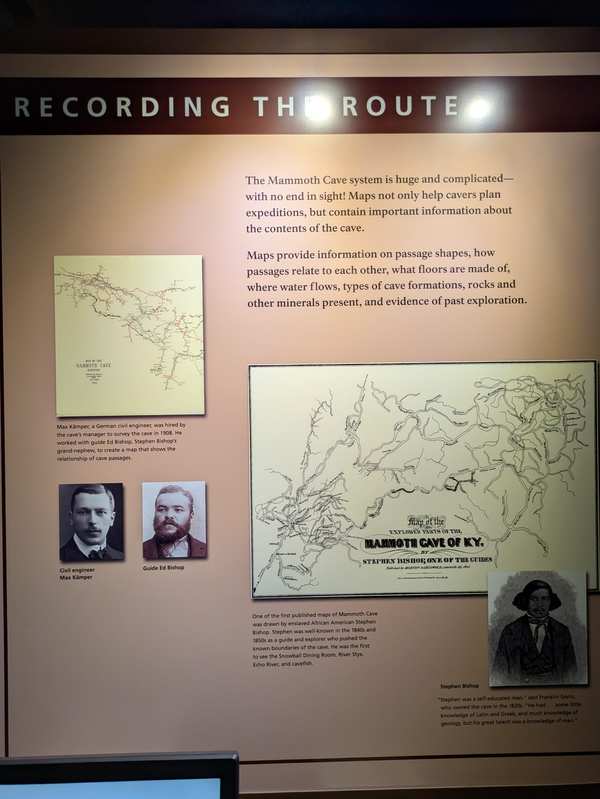
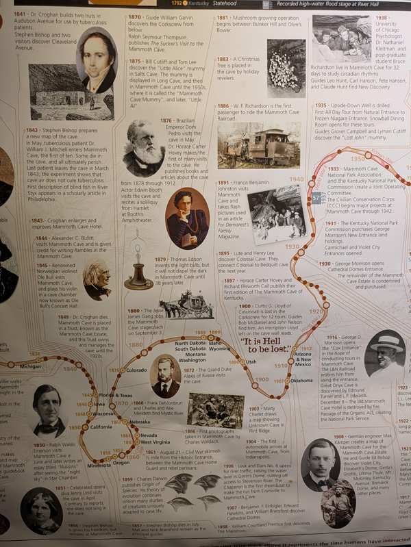
Enslaved men also became its renowned guides. From 1838 Stephen Bishop, guiding at 17, and Mat and Nick Bransford, owned or leased by the cave’s owners, led tours that could last up to 18 hours. Bishop was the first to cross the Bottomless Pit and drew a map of the cave from memory, published in 1845. Owner John Croghan’s will valued Bishop at $600, his wife Charlotte at $450 and their son Thomas at $100, freeing them seven years after his death; they gained freedom in 1856, and Bishop died the next year. [2] [3]
Sources
- Foundation Document, Mammoth Cave National Park, Kentucky (NPS, 2014)
- NPSHistory.com: Mammoth Cave National Park archive page — overview (from the NPS brochure) and establishment block
- Commonwealth Heritage Group, Mammoth Cave National Park Historic Resource Study (NPS, October 2023)
- Applegate & Hudepohl, Ethnographic Overview and Assessment of Mammoth Cave National Park, Phase III Final Report (Western Kentucky University for NPS, May 2021)
Removed Per Nps Court Filing: Interpretive materials


Mammoth Cave National Park in KY is one of hundreds of National Park Service sites where interpretive content has been flagged under Secretary's Order 3431. This directive requires parks to review materials that could be considered negative about past or living Americans — a standard that threatens the factual historical record these sites were created to preserve.
Why this matters: Mammoth Cave National Park is one of 466+ National Park Service sites where historically accurate interpretive content has been flagged under Secretary's Order 3431. Over 300 million people visit national parks each year. For many — especially schoolchildren — these visits are their first and deepest encounter with American history.
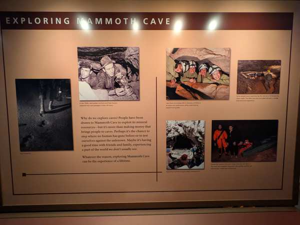
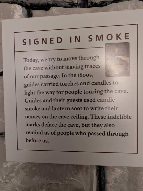
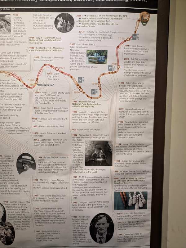
- “Exhibit panels in Visitor Center” — removed per NPS court filing
- Exhibit panels in Visitor Center; reason: Unrelated to beauty, abundance, and grandeur of the natural landscape, disparages American past or living; now: At the park
Photographs attached to this park's records in the leaked NPS review database.


Explore the Full Map
See all 446 entries across every national park and wildlife refuge.
Open Interactive Map →