Cape Cod National Seashore
Park History
Sourced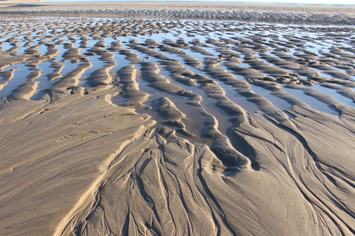
Cape Cod is a slender arm of sand and glacial debris curving some 60 miles into the Atlantic, one of the largest glacially formed peninsulas in the world. Wind and water never stop moving it: sand is torn from one stretch of shore and laid down on another, and the Great Beach on the ocean side is one of the longest uninterrupted sandy shorelines on the East Coast. Cape Cod National Seashore, authorized on August 7, 1961, protects about 44,000 acres along a 40-mile stretch between Chatham and Provincetown — beaches and dunes, kettle ponds, pine barrens, heathland and some 1,875 acres of salt marsh. [1] [2]
Archeological sites here record more than 9,000 years of human occupation, and by the 1600s the Wampanoag used or lived on all of the land now inside the seashore — use the Park Service says continues today. In 1620 the Cape was the Pilgrims’ first landfall and the place where they drafted the Mayflower Compact. Later Cape Codders took to whaling, fishing and shellfishing; lighthouses and lifesaving stations still line the outer shore; and the first transatlantic cable (1866) and the first exchange of transatlantic wireless messages (1903) went out from this coast. [2]
The Park Service’s own foundation document names what is at stake: the forces that shape the Cape are directly affected by climate change, and the seashore is a place to watch it happen. At the Marconi Station Site in Wellfleet, where the peninsula is only a mile wide, much of the high cliff has eroded since Guglielmo Marconi built his towers there in 1901. [2] [1]
Indigenous peoples
When Samuel de Champlain mapped Nauset Bay in 1605 he saw a harbor bordered by wigwams and recorded about 150 people living around it, farming and fishing. That was a late chapter: Paleo-Indian projectile points indicate that people have lived on, or at least crossed, this land for 10,000 years. The Park Service’s archeological survey, begun in 1979, found shellfish being gathered at least 4,000 years ago, some people living on the Outer Cape year-round in the late Woodland period, and a community in sustained contact with other Native peoples of the Northeast. A communal burial at Indian Neck in Wellfleet held more than two dozen people and dates to about A.D. 880–1155. [2] [3]
After 1620 Plymouth colonists came to Nauset to buy corn and trade, spreading diseases against which the Nauset had no immunity; their population fell drastically. In 1639 about half the English at Plymouth moved to the Nauset area and founded what is now Eastham. [2] [3]
Climate & environment
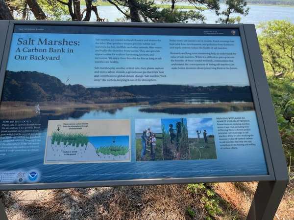
The salt marshes are where rising seas show first. The 2018 foundation document finds evidence of sea-level rise in every one of the seashore’s salt marshes, which it says are getting wetter, and says their vegetation is changing rapidly in response. A 2020 Park Service study of marshes surveyed from 2003 to 2018 found both dominant marsh grasses (Spartina alterniflora and S. patens) declining, mostly from sea-level rise, crab grazing and wave erosion, and suggests that marsh migration is not keeping up with the losses; those marshes hold an estimated 18,000 metric tons of carbon. [2] [4]
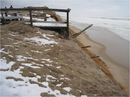
On the ocean side, bluff erosion — a natural process the Park Service says is now being influenced by sea-level rise — has averaged 2.5 to 3 feet a year over a century, and the Nantucket tide gauge shows the sea rising faster here than the national average. Even the kettle ponds are warming: Gull Pond’s August surface water has grown warmer since 1980. [2] [5]
Sources
- NPSHistory.com: Cape Cod National Seashore archive page — overview (from the 2005 NPS brochure) and establishment block
- Foundation Document, Cape Cod National Seashore, Massachusetts (NPS, 2018)
- McManamon & Borstel, The Archeology of Cape Cod National Seashore (NPS, 1982; rev. 1984)
- Smith, Salt Marsh Vegetation Change at Cape Cod National Seashore between 2003 and 2018 (NPS NRR 2020/2157)
- Resource Brief: Monitoring Climate Change at Cape Cod National Seashore (NPS Northeast Coastal and Barrier Network, December 2009)
CONFIRMED REMOVED: Interpretive materials
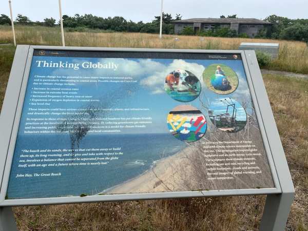
Cape Cod NS in MA is one of hundreds of National Park Service sites where interpretive content has been flagged under Secretary's Order 3431. This directive requires parks to review materials that could be considered negative about past or living Americans — a standard that threatens the factual historical record these sites were created to preserve.
Why this matters: Cape Cod NS is one of 466+ National Park Service sites where historically accurate interpretive content has been flagged under Secretary's Order 3431. Over 300 million people visit national parks each year. For many — especially schoolchildren — these visits are their first and deepest encounter with American history.
- “On the Fringe - Salt Marshes and Sea Level Rise” — removed
- “Four waysides (3 signs)” — removed per NPS court filing
- Four waysides (×4); reason: Unrelated to beauty, abundance, and grandeur of the natural landscape; also waysides outdated and/or in poor condition; now: In the park
Please review the wayside's photos attached.
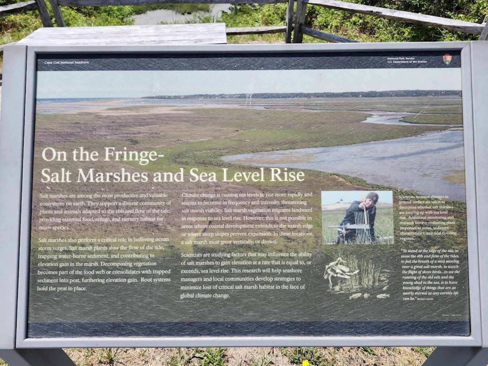
Photos courtesy Save Our Signs (public domain)
News Sources
VerifiedExplore the Full Map
See all 446 entries across every national park and wildlife refuge.
Open Interactive Map →