Colonial National Historical Park
Park History
Sourced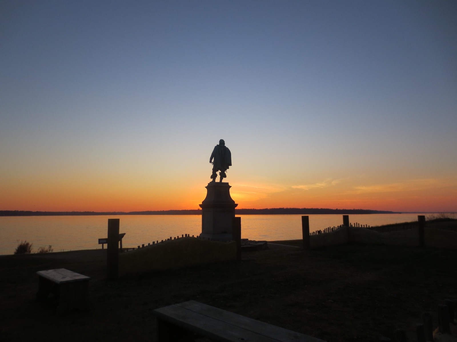
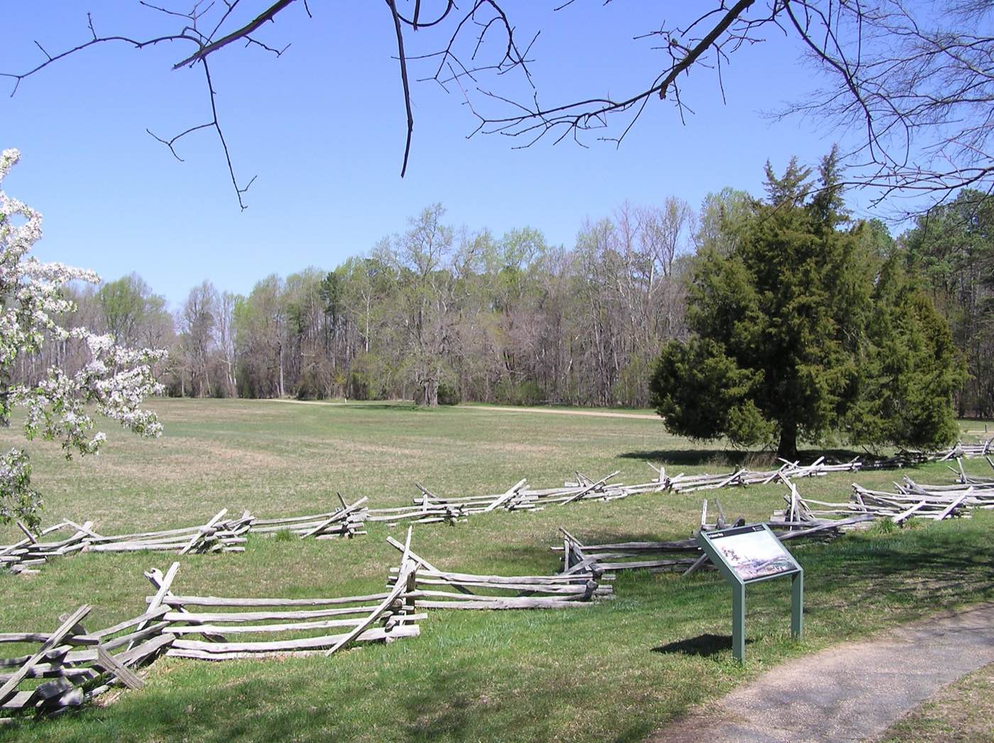
Colonial National Historical Park holds both ends of British America on one Virginia peninsula: Jamestown Island on the James River, where 104 Englishmen came ashore in 1607, and the fields at Yorktown on the York, where Cornwallis surrendered on October 19, 1781. The Colonial Parkway runs between them through bald cypress, marsh and pine-hardwood forest, and about 6,000 of the park’s 8,677 acres are habitat for native plants and wildlife. People lived here for more than 11,000 years before the English arrived; the park’s 2018 foundation document says its resources evoke the interaction and conflict between the colonists and the Powhatan Paramount Chiefdom, the evolution of the colonies, and the development of lifelong African American slavery. [1] [2]
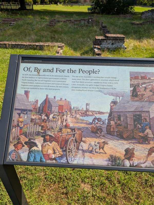
In 1619 the first elected representative assembly in English-speaking North America — 22 burgesses, subject to the governor’s veto — met in the church at Jamestown. The same year, 20 to 30 captive Africans were sold at Point Comfort. The park’s brochure puts the two side by side and draws the conclusion itself: Jamestown’s legacy includes representative government, but also slavery, a brutal institution that spread through the colonies. Congress authorized the park in 1930; the Park Service bought most of Jamestown Island in 1934, and in 1994 Preservation Virginia’s Jamestown Rediscovery project began the search that found the original James Fort, long believed lost to the river. [1] [2]
Indigenous peoples
The English landed inside the chiefdom of Wahunsenacawh, known as Powhatan, who ruled subordinate tribes from Werowocomoco. The foundation document says he first tried to absorb the colony as one more tributary “tribe,” then to contain rather than destroy it; a key source of conflict was the colonists’ demand for food the tribes could not spare, after drought-induced crop failures that NPS-sponsored tree-ring analyses of Jamestown’s cypresses have since revealed. When more English arrived, Powhatan cut off the maize and besieged the fort, and the Starving Time of 1609–10 followed. His brother Opechancanough led attacks in 1622 and 1644, by which time disease and English attacks had set the confederacy’s power in decline. After Opechancanough was captured and killed in 1646, his successor’s treaty made the confederacy’s tribes tributaries of the English king and established one of the earliest Indian reservations; after Bacon’s Rebellion, the 1677 Treaty of Middle Plantation added tributary tribes and formalized a reservation for the Pamunkey and Mattaponi, a treaty the foundation document says is still in effect. The Pamunkey and the Catawba Indian Nation are the park’s traditionally associated tribes. [2] [1]
Slavery
Tobacco, which John Smith said passed in Virginia as current silver, demanded labor. At first the colony relied on indentured servants, and the earliest Africans faced conditions closer to theirs; some bought their freedom and became planters. The foundation document traces how that changed: the number of enslaved Africans in Virginia rose from 300 in 1650 to 13,000 in 1700; after 1662 a child born to an enslaved mother was enslaved for life; and after Bacon’s Rebellion, in which many Black indentured servants fought, new laws were meant to divide poor whites and Blacks. The 1705 Slave Code, in the brochure’s words, stripped all rights from people of color. At the New Town home site of planter-merchant William Pierce, archeologists are uncovering the story of a woman named Angelo or Angela, the only one of the first Africans whose name is known, who lived in his household in 1625. [2] [1]
Climate & environment
Jamestown Island is low, sinking and surrounded by water. Sea level here rose an average of 0.18 inch a year between 1927 and 2013 and could stand 2.1 to 2.7 feet higher by 2100, and land subsidence on the island amplifies the rise. Recent assessments of more than fifty archeological sites on the island recorded dramatic losses to coastal erosion, many of them 40 to 50 percent. The park’s average temperature rose at a rate of 1.2 °C per century from 1950 to 2010, and the 2018 foundation document expects erosion and inundation to further damage and destroy archeological resources, storm surge to threaten the Jamestown collections storage and the parkway’s riverside stretches along the James and York, and rising seas to worsen scour at some parkway bridge abutments. [2]
Sources
Removed Per Nps Court Filing: Interpretive materials
In 1926, Congress established Colonial National Monument to commemorate the birth of the American republic at Jamestown, where on May 13, 1607, English settlers landed in the Powhatan Paramount Chiefdom to create the first permanent English settlement in North America. [NPSHistory.com] [NPSHistory.com 2]
Jamestown served as Virginia's capital from 1607 to 1699; evolved from a struggling settlement into a prosperous colony. The park also protects Yorktown, where the British Army was defeated in 1781, ending the Revolutionary War. Redesignated as Colonial National Historical Park in 1936, making it one of the most historically significant sites in America.
Why this matters: Jamestown’s legacy, in the park’s own words, includes representative government but also slavery: the first elected assembly in English-speaking North America met here in 1619, the same year 20 to 30 captive Africans were sold at nearby Point Comfort. The colony was planted in the homeland of the Powhatan peoples, whose conflict with the English shaped its first decades. Visitors need all three parts of that story. [NPSHistory.com] [NPSHistory.com 2]
- “General Assembly wayside” — removed per NPS court filing
- General Assembly wayside; reason: Disparages Americans past or living; now: In the park
Needs reviewed to see if the language complies with SO 3431.
Explore the Full Map
See all 446 entries across every national park and wildlife refuge.
Open Interactive Map →