Jean Lafitte National Historical Park and Preserve
Park History
Sourced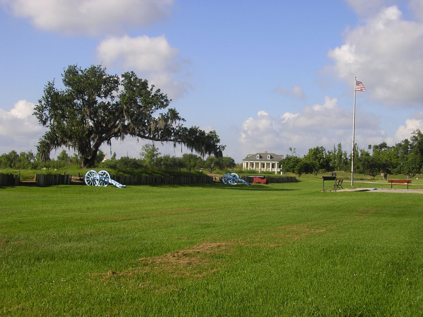
This land is the creation of the Mississippi River. At the end of its journey it drops sediment scoured from 40 percent of the continental United States, and the ground beneath the New Orleans region is less than 4,000 years old — marsh, slow bayous, cypress swamp and forested natural levees in a restless interplay of land and water. American Indians settled the delta as it formed, some 2,500 years ago; from the 1720s European settlers and enslaved Africans took their place among them, and the park’s brochure traces how French colonists, the Chitimacha, Houma and other tribes, enslaved West Africans, Spanish-speaking Isleños, free people of color from the Caribbean and Acadians each shaped the delta’s culture. [1]
On January 8, 1815, on the Chalmet plantation below New Orleans, Andrew Jackson’s mixed force of regulars, militia, volunteers and Jean Lafitte’s Baratarian privateers stopped a British assault in less than two hours; more than 2,000 British soldiers were killed, wounded or captured and American casualties numbered fewer than 20. Chalmette National Historical Park, created in 1939 to preserve part of that field, was the first national park unit in Louisiana. Congress expanded it into Jean Lafitte National Historical Park and Preserve on November 10, 1978, and in 1988 added three Acadian cultural centers, for six sites in all. The land itself is now going: human engineering has blocked sedimentation and increased coastal erosion, and rising seas due to climate change are accelerating the loss, by the brochure’s count a football field’s worth of land every 45 minutes. [1] [2]
Indigenous peoples
People lived in the Barataria basin as soon as the river formed it, and by the Marksville period (about 100 B.C. to A.D. 300) were building large villages, growing corn and probably beans and squash to a moderate extent while hunting and gathering remained their most important source of food. Prehistoric shell middens from that long occupation remain part of the preserve’s landscape. At French contact their descendants were the Washa, Chawasha and Chitimacha (“Sitimachas” on an early French map after Guillaume Delisle). France’s Indian allies waged a twelve-year war on the Chitimacha, and, Holmes writes, Chitimacha bands contributed many Indian slaves to the French colony; the 1718 peace forced the Chitimacha to abandon Bayou Lafourche and settle near New Orleans. By 1739 the Washa and Chawasha together numbered only thirty warriors, which, Holmes writes, probably reflects significant population loss from disease. [3] [2]
Black history
Around 1867, Jean Pierre Fazende, a free man of color before emancipation, began selling lots on part of the old Chalmet plantation to freedmen. Fazendeville grew into a close-knit Black working-class village of about 40 houses, a church, stores, a school and benevolent societies, sitting between the battlefield monument and the national cemetery, which for generations drew its laborers from the village. Blythe’s 2012 administrative history records that NPS managers believed from the start that the community would have to be obliterated to provide a meaningful visitor experience of the historic scene. A 1962 law authorized the federal government to acquire every property in the village, and by 1964 the community was lost. The taking came, Blythe notes, while Black residents of St. Bernard Parish were struggling to register to vote, and some of those displaced saw the two as connected. The same history notes that throughout the Jim Crow era park managers and the major New Orleans media often overlooked the free men of color who helped win Jackson’s victory. The NPS placed a wayside about Fazendeville on the battlefield in 2008. [4] [2]
Slavery
Before the Civil War the Barataria region near New Orleans was worked as sugar plantations. In 1850, Holmes’s 1986 historic resource study counts 1,176 people living there: 504 enslaved, 15 free people of color and 657 white, with 79 percent of the enslaved owned by planters and living on the plantations. In 1856 the Mavis Grove plantation inventoried houses for 156 enslaved people alongside a steam-powered sawmill and seventy mules; the Andrew Hodge estate, almost entirely Mavis Grove, was valued at $226,914.61. Enslaved workers usually labored six days a week for their owners, and every day during the October-to-December harvest and sugar making. Earlier, from 1805 to 1813, Jean Lafitte, who the park’s foundation document says navigated these swamps smuggling contraband and enslaved people, built a commercial empire in the basin and, Holmes writes, dared to openly advertise an auction of contraband slaves there. [3] [2]
Climate & environment
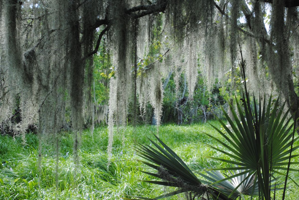
The delta was always in motion: over 3,500 years the Mississippi built five major deltas, the newest only 500 years old, while subsidence and erosion balanced the new land it laid down. Human engineering, from artificial levees to jetties, has upset that balance. The park’s 2015 foundation document says parts of this landscape have the highest rate of relative sea-level rise and land loss in North America — a historical average of 0.36 inches a year at Grand Isle from 1947 to 2012, with NOAA-based projections for 2100 of 3.30 to 7.62 feet. In Barataria Preserve, scientists have already documented species lost from the natural levee ridges, more flooding and land loss, and the document names the climate-driven rise of ocean influence over the delta and its people the park’s major cross-cutting concern. [1] [2]
Latino & Hispanic heritage
Spain took over Louisiana in 1763, and its colonial government built the public road it named El Camino Real de Barataria, the royal road, a remnant of which survives in the preserve. In 1778 the first settlers from the Canary Islands — the Isleños — arrived, brought by the Spanish governor to strengthen Spain’s presence and provide a barrier against British and American aggression. In 1779 the Spanish government settled a group of about 150 on a grant that took in the meeting of Bayou des Familles and Bayou Barataria; John McDonogh, who later bought the abandoned grant, said the bayou was called “des Familles” after the Canarian families placed there. Repeated floods from hurricanes and river crevasses, and a gradual drift of settlers to other Canarian settlements, wore the settlement down over some sixteen years, until a crevasse that opened in or before 1796 ruined the last five families’ crops and livestock and the government moved them to Terre aux Boeufs, in today’s St. Bernard Parish. [1] [2] [3]
Sources
- NPSHistory.com: Jean Lafitte NHP&P archive page — overview (2017 and 2014 NPS brochures) and establishment block
- Foundation Document, Jean Lafitte National Historical Park and Preserve (NPS, 2015), pp. 3–6
- Holmes, Historic Resources Study: The Barataria Unit (NPS, 1986), ch. II, The Indigenous Occupation, pp. 31, 35; ch. VI, p. 129
- Blythe, Administrative History of Jean Lafitte National Historical Park and Preserve (NPS, 2012), ch. 3 pp. 35–36; ch. 4 pp. 57–58
Removed Per Nps Court Filing: Interpretive materials
On March 17, 1962, Congress established Jean Lafitte National Historical Park to protect the Louisiana bayou and the historic battlefields where Andrew Jackson defeated the British in the War of 1812.
The park preserves six distinct sites, including the Chalmette Battlefield where Jackson's forces defeated British regulars on January 8, 1815. Jean Lafitte was a pirate and privateer who fought alongside Jackson against the British, earning a pardon for his service. The park encompasses pristine bayou habitat and interprets Creole and Acadian cultural heritage.
From the internal review records: “Wayside describes the effects of rising sea levels, subsidence, and warming climate on the lands and people of southern Louisiana. Wayside does not disparage industry or the federal government, just states the facts as they are.”
Why this matters: Jean Lafitte protects a crucial moment in American military history and the unique cultural landscape of the Louisiana bayou. Over 1.5 million people visit this site each year.
- “Waysides” — removed per NPS court filing
- Waysides; reason: Unrelated to beauty, abundance, and grandeur of the natural landscape; now: Discarded
Wayside describes the effects of rising sea levels, subsidence, and warming climate on the lands and people of southern Louisiana. Wayside does not disparage industry or the federal government, just states the facts as they are.
Explore the Full Map
See all 446 entries across every national park and wildlife refuge.
Open Interactive Map →