Pictured Rocks National Lakeshore
Park History
Sourced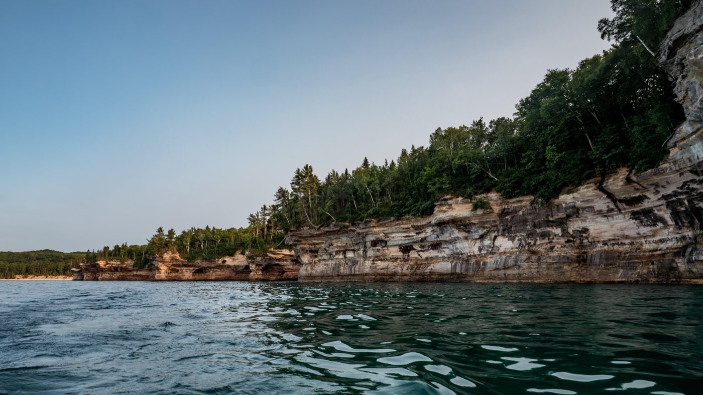
Sandstone cliffs streaked ochre, tan and brown, with bands of white and green, rise 50 to 200 feet out of Lake Superior along the Upper Peninsula of Michigan. The colors come from groundwater seeping through cracks and leaving iron, manganese, copper and other minerals on the rock face; the cliffs themselves are largely 500-million-year-old Cambrian sandstone under a harder cap rock, carved by the lake into arches. The last glacier, which began retreating about 10,000 years ago, left kettle lakes and wetlands, and created the four-square-mile perched dune of the Grand Sable Banks. [1] [2]
People have come here since the ice withdrew. Archaic and Woodland peoples made summer camps along the coast, and later Anishinaabe people (the brochure’s Anishinaabek) hunted and fished here, as their descendants still do. The French fur trader Pierre Esprit Radisson, the first documented visitor to the Pictured Rocks, passed in 1658 and called the coast most delightful and wonderful. In the late 1800s boomtowns on the south shore supported large logging operations and blast furnaces making pig iron for the railroads, and the Life-Saving Service and Lighthouse Service built stations to help ships past the treacherous rock reef. [1] [2]
On October 15, 1966, President Lyndon Johnson signed the law creating the first national lakeshore here. It hugs more than 40 miles of shoreline, and with its Inland Buffer Zone of federal, state and private land covers nearly 73,000 acres. Historian Theodore Karamanski argues that the buffer zone and scenic drive were the law’s most controversial features, born of a consensus that masked deep divisions and later sharpened bitterness between local people and the Park Service. [1] [3]
Indigenous peoples
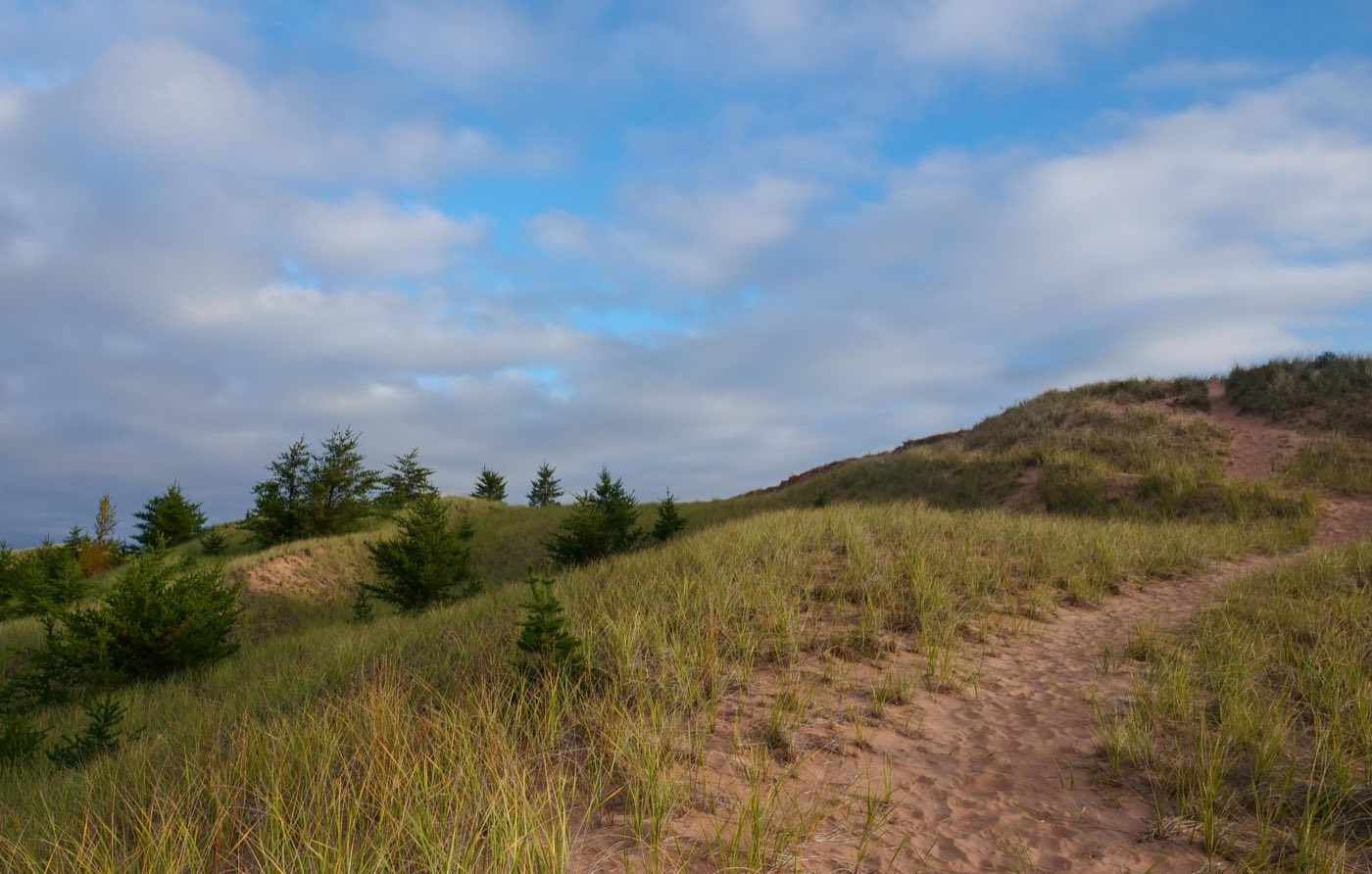
This shore was part of the land of the Ojibwe (Ojibwa in Karamanski’s 1995 administrative history). In 1658 Radisson’s Indian companions called the cliffs Nauitouchsinagoit, which he took to mean “the likeness of the devil,” and left an offering of tobacco there; Karamanski reads this as consistent with Ojibwe belief in a world alive with spirits. The Grand Sable Dunes, Negouwatchi or the Sandy Mountain, also received tobacco from Ojibwe travelers. Karamanski judges that the lakeshore itself was not heavily used for living or subsistence, but that it served as a place of burial, at Sand Point and the Grand Sable Dunes, and is frequently mentioned in Ojibwe lore. [2]
The park’s 2016 foundation document calls Chapel, Little Beaver and Beaver lakes, the high cliffs, promontories and creek mouths of its wilderness study area especially important to the Ojibwe of the region, and notes that traditional ceremonies and plant gathering take place infrequently, mostly off-season. [4]
Sources
- NPSHistory.com: Pictured Rocks NL archive page — overview (from the 2018 NPS brochure) and establishment block
- Karamanski, The Pictured Rocks: An Administrative History of Pictured Rocks National Lakeshore (NPS, 1995), ch. 1, Images of the Pictured Rocks
- Karamanski, The Pictured Rocks (NPS, 1995), ch. 3, Creation of Pictured Rocks National Lakeshore
- Foundation Document, Pictured Rocks National Lakeshore, Michigan (NPS, 2016)
Removed Per Nps Court Filing: Interpretive materials
The history preserved at Pigeon River area reflects a pivotal chapter in the expansion of the United States — a chapter that involved conflict, displacement, and transformation. The interpretive materials now under review present this documented history as it happened, drawing on primary sources and scholarly consensus.
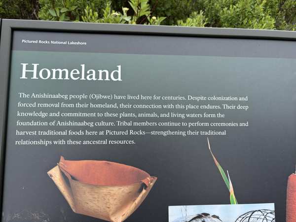
The administration has flagged for review content that includes the language: “Despite colonization and forced removal from their homeland, their connection with this place endures.”, and “content that inappropriately disparages Americans past or living (including persons living in colonial times), and... instead focusing on the respect to natural features, the beauty, abundance, and grandeur of the American landscape.”. Officials deemed this language potentially “disparaging to certain visitors.”
Why this matters: The history presented at Pigeon River area draws on primary sources, treaties, and documented events. These are not contested opinions but the factual record of how the United States expanded its borders. Visitors — especially students — deserve access to the complete story, including its difficult chapters.
- “Wayside” — removed per NPS court filing
- Wayside; reason: Disparages Americans past or living; now: At the park
Potential removal of one sentence on newly installed wayside exhibit contracted through HFC. This wayside is one of twelve recently installed on a Nature Trail boardwalk highlighting the natural features and beauty of the landscape. The second sentence states “Despite colonization and forced removal from their homeland, their connection with this place endures.” That sentence could be represented as "content that inappropriately disparages Americans past or living (including persons living in colonial times), and... instead focusing on the respect to natural features, the beauty, abundance, and grandeur of the American landscape."
Solution: Remove only the second sentence and reprint.
Explore the Full Map
See all 446 entries across every national park and wildlife refuge.
Open Interactive Map →