Sunset Crater Volcano National Monument
Park History
Sourced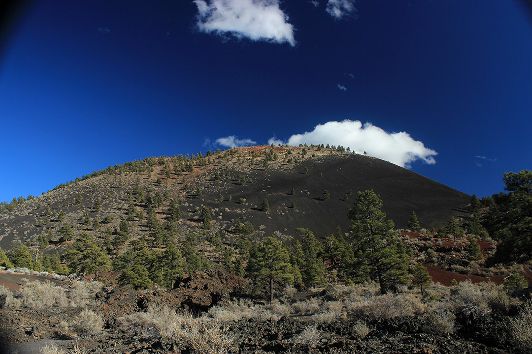
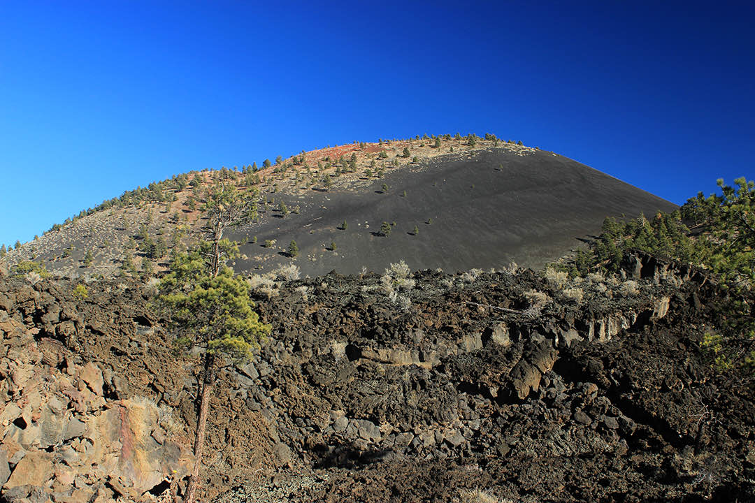
Sunset Crater is the youngest of some 600 volcanoes in northern Arizona’s San Francisco Volcanic Field, a 1,000-foot cinder cone that the Foundation Document calls the Colorado Plateau’s most recent eruption and the only series of eruptions in the Southwest indisputably witnessed by local peoples. The monument protects 3,040 acres of lava flows and cinder fields where small islands of pine and aspen, desert shrubs and wildflowers grow and life is slowly returning. [2] The brochure dates the eruption to sometime between 1040 and 1100, and a 2018 National Register nomination to the late 1080s. In the brochure’s account, molten rock sprayed from a crack in the ground and fell as bombs and cinders, ash dusted 800 square miles of northern Arizona, and the Kana-a and Bonito lava flows destroyed all living things in their path. The red and yellow cinders on the rim, glowing like a sunset, gave the volcano its name. [1] [3]
In 1928 filmmakers who wanted to stage a landslide on the cone prompted activists to push for its protection, and President Herbert Hoover proclaimed Sunset Crater National Monument on May 26, 1930; it took its present name in 1990. After thousands of climbers scarred it, the cone was closed to climbing. [1] From 1964 to 1972 the U.S. Geological Survey used the Bonito Lava Flow and nearby Cinder Lake, where it built replicas of lunar crater fields, to test equipment and train Apollo astronauts; Apollo 17’s crew practiced here in November 1972. [3]
Indigenous peoples
The eruption, the brochure says, forced the farmers living just northeast of today’s Flagstaff off land they had cultivated for 400 years; a few generations later families returned to farm at nearby Wupatki and Walnut Canyon, and the memory of the eruption lived on in the stories of Indigenous Southwest peoples. [1] The 2015 Foundation Document lists 13 traditionally associated tribes and says the volcano remains significant to contemporary American Indian tribes. [2]
Drawing partly on 80 interviews with Pai, Southern Paiute, Zuni and Western Apache representatives from a 2004 NPS study, researchers Richard Stoffle and Kathleen Van Vlack wrote in 2022 that Native Americans have come to perceive volcanoes as earth navels, places where the earth is reborn. The authors argue that the new volcano drew pilgrims and led to the ceremonial communities around Wupatki. Participants in their NPS studies agreed that the Park Service need not accept Native beliefs as true but should tell both stories side by side. [4]
Sources
- NPSHistory.com: Sunset Crater Volcano National Monument archive page — overview (joint Wupatki/Sunset Crater NPS brochure text) and establishment block
- Foundation Document, Sunset Crater Volcano National Monument, Arizona (NPS, 2015)
- National Register of Historic Places nomination: Sunset Crater–Cinder Lake Apollo Mission Testing and Training Historic District (2018), Section 7 summary
- Stoffle & Van Vlack, Talking with a Volcano: Native American Perspectives on the Eruption of Sunset Crater, Arizona, Land 11(2):196 (2022) — abstract and §§3.1–4.1
CONFIRMED REMOVED: Exhibit panels (1 items)
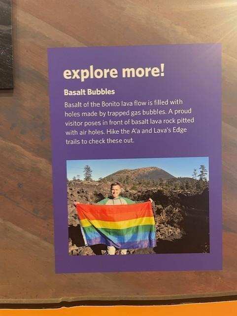
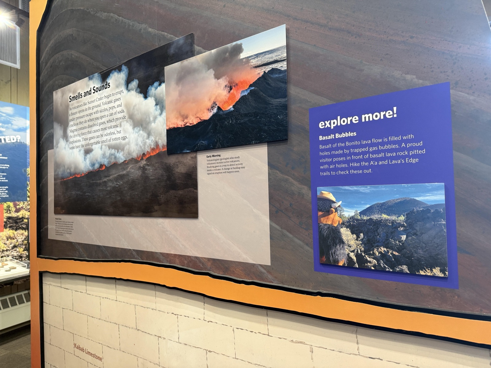
Sunset Crater Volcano National Monument in AZ preserves a piece of American history that the public has trusted the National Park Service to protect and interpret. The exhibit panels at this site have been developed over years by historians, subject-matter experts, and park staff — and are now being reviewed under Secretary's Order 3431.
From the internal review records: “Picture currently shows a visitor holding a Pride flag in an indoor exhibit interpreting basalt bubbles and where to find them. Plan to replace photo with either a visitor/visitors looking up close at basalt bubbles or an up-close photo of just the basalt bubbles themselves.”
The administration has directed that this content be replaced or removed, not merely revised but eliminated from the visitor experience at Sunset Crater Volcano National Monument.
Why this matters: Sunset Crater Volcano National Monument is part of a network of over 400 national parks that serve as America's classrooms. The interpretive materials here were developed by subject-matter experts to help visitors understand the full story of this place. When historically accurate content is removed, the public loses access to its own history.
- “"Explore More! Basalt Bubbles"” — removed
- Exhibit panel; reason: Unrelated to beauty, abundance, and grandeur of the natural landscape; now: Discarded
Picture currently shows a visitor holding a Pride flag in an indoor exhibit interpreting basalt bubbles and where to find them. Plan to replace photo with either a visitor/visitors looking up close at basalt bubbles or an up-close photo of just the basalt bubbles themselves.
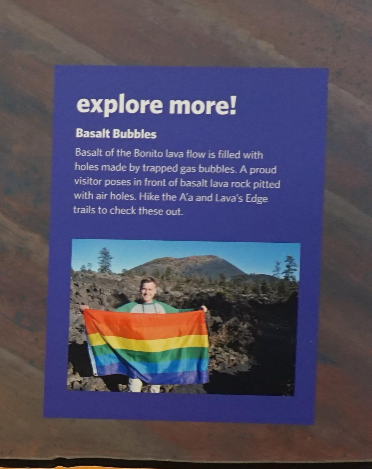
Photos courtesy Save Our Signs (public domain)
News Sources
VerifiedExplore the Full Map
See all 446 entries across every national park and wildlife refuge.
Open Interactive Map →